To date, our nomadic travels have either taken us east to Asia or west to Europe, with the occasional detour to Africa. We figured the time had come to turn our attention south and sample Latin America, beginning in Central America.
Guatemala
The Mayans entered the annals of history in roughly 2000 BCE, occupying the regions of modern-day southeastern Mexico, Guatemala and Belize in their entirety, as well as the western portions of Honduras and El Salvador. Known for their art and architecture, sophisticated writing system, urbanization, and an advanced knowledge of mathematics and astrology, the Mayans were not immune to the pitfalls that often plague great civilizations.
Throughout their history, internal squabbling, disease, and natural disasters led to the rise and fall of many of their city states. Despite those setbacks, they always managed to regroup, rebuild/relocate, and regain their affluence until fate shipwrecked a Spanish vessel off the Yucatán peninsula in 1511 CE. While most of those who survived the wreck and reached the shore were sacrificed by the local Mayan Lord, a handful of sailors escaped and shared the prosperity they witnessed with their employers. The year 1517 marked the beginning of the end for the Mayan Empire. Sadly, the Spanish felt compelled to cleanse their territories of any pagan residue, and consequently very little remains of this once great civilization.
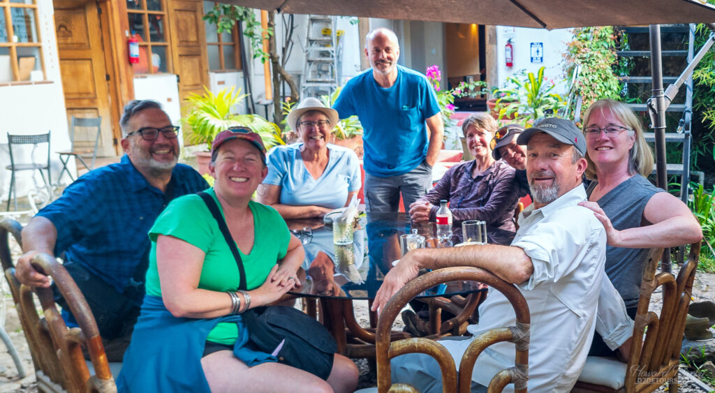
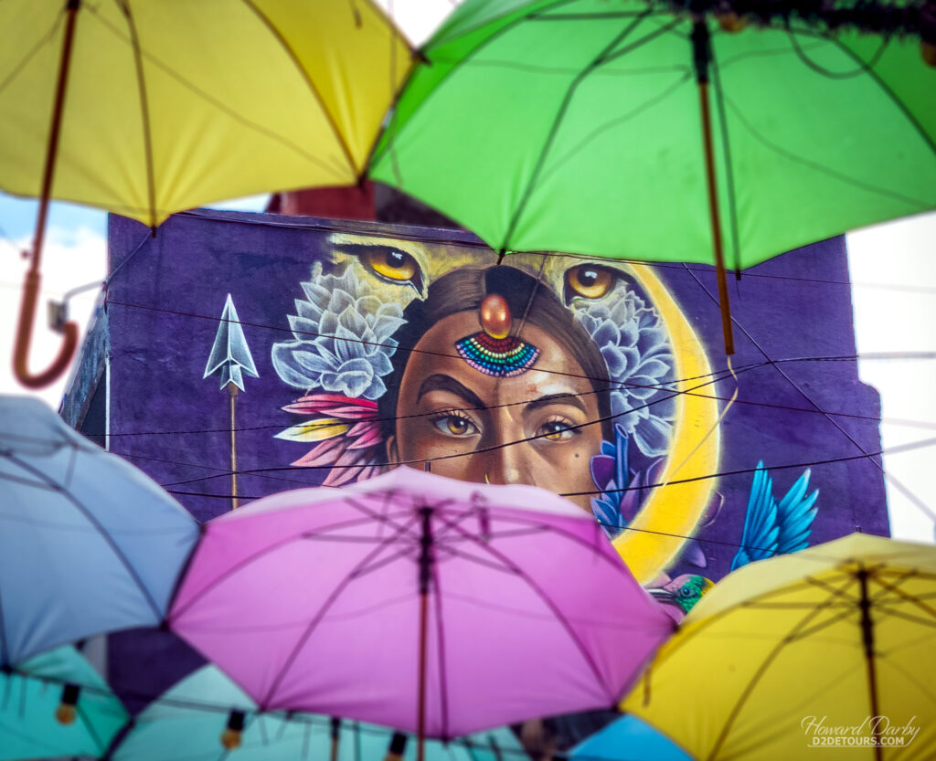
Guatemala, a native word for “place of many trees,” was the heart and soul of the Mayan Empire. In 1697, the Itza, in the northern part of that region, was the final kingdom to be subjugated by Spain. We didn’t get that far north, instead we divided our time between Panajachel and Antigua in the central highlands.
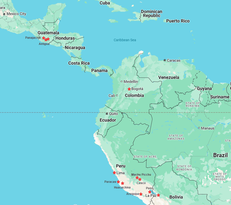
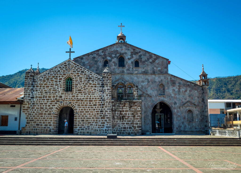
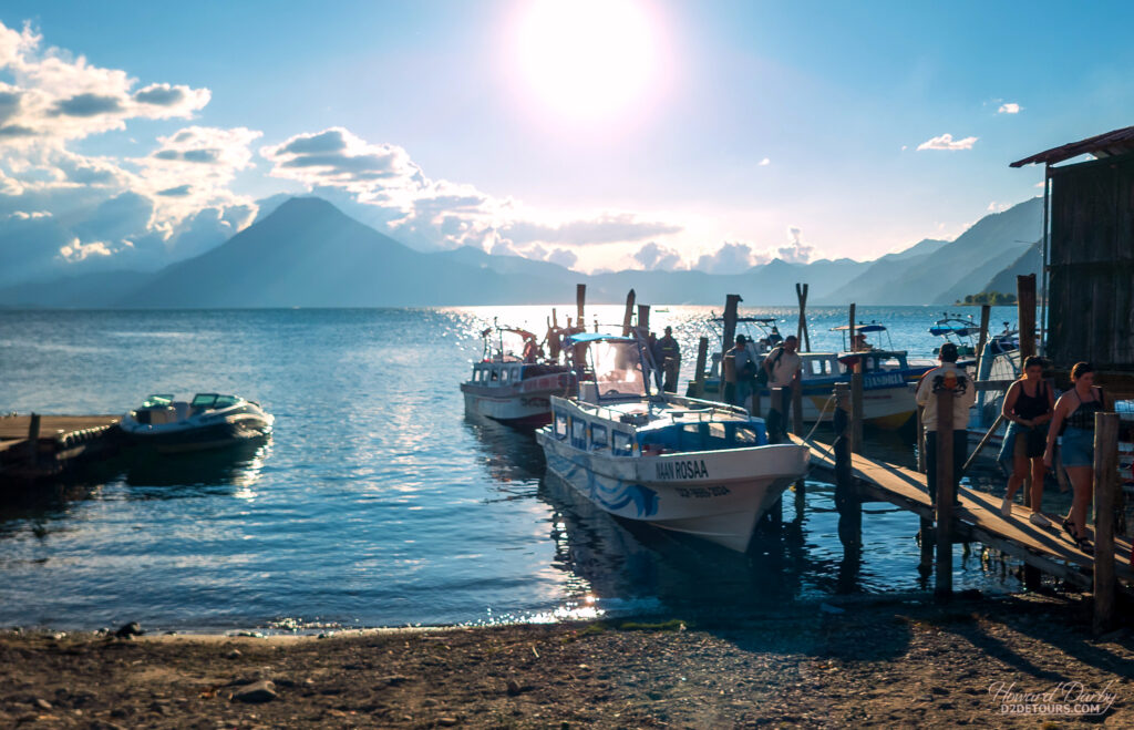
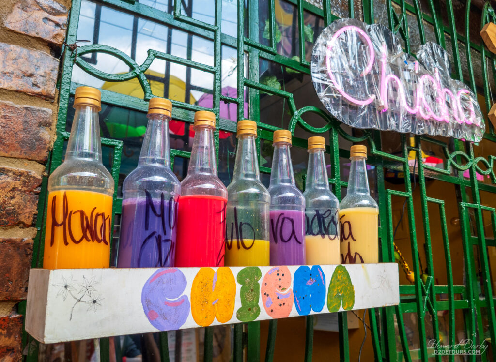
Panajachel (Panachel or just “Pana” if you want to sound cool) sits at an elevation of 1,597 m (5,240 ft). It is just one of the small towns dotting the shoreline of an enormous caldera, Lake Atitlán. The lake has a surface area of 130 sq km (50 sq mi), an average depth of 154 metres (505 ft), and is often described as one of the most beautiful lakes in the world. The setting is idyllic and the water inviting; unfortunately, wastewater (human and otherwise) from the communities lining its shores makes swimming a questionable activity.
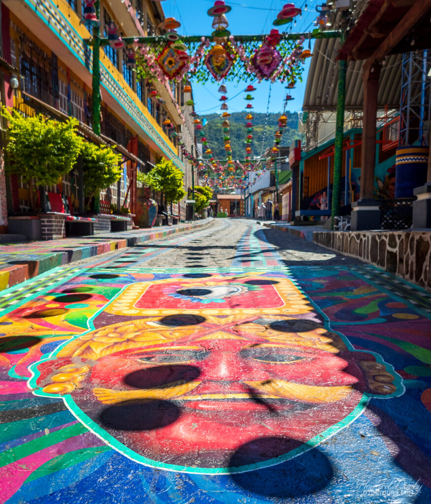
Panajachel was just one of the many cities where the Mayans lost battles against the Conquistadors. The Franciscan monks the Spanish settled in Panajachel would use it as their base from which to convert the heathens in the surrounding area to the Roman Catholic faith. Catholicism has continued to be the dominant religion in Latin America, although in 2023 only about 54% of the population identified as Catholic, down from nearly 90% in the late 20th century.
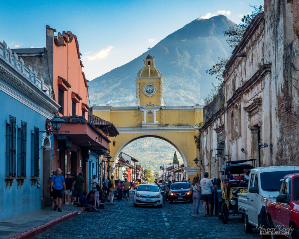
In 1543, the Spanish established their capital, Santiago de los Caballeros de Guatemala, on the ruins of a former Mayan settlement. Here, the capital would remain for more than 200 years. Central America is prone to earthquakes. While earthquakes had shaken Santiago de los Caballeros over the centuries, the one that struck in 1717 was particularly devastating.
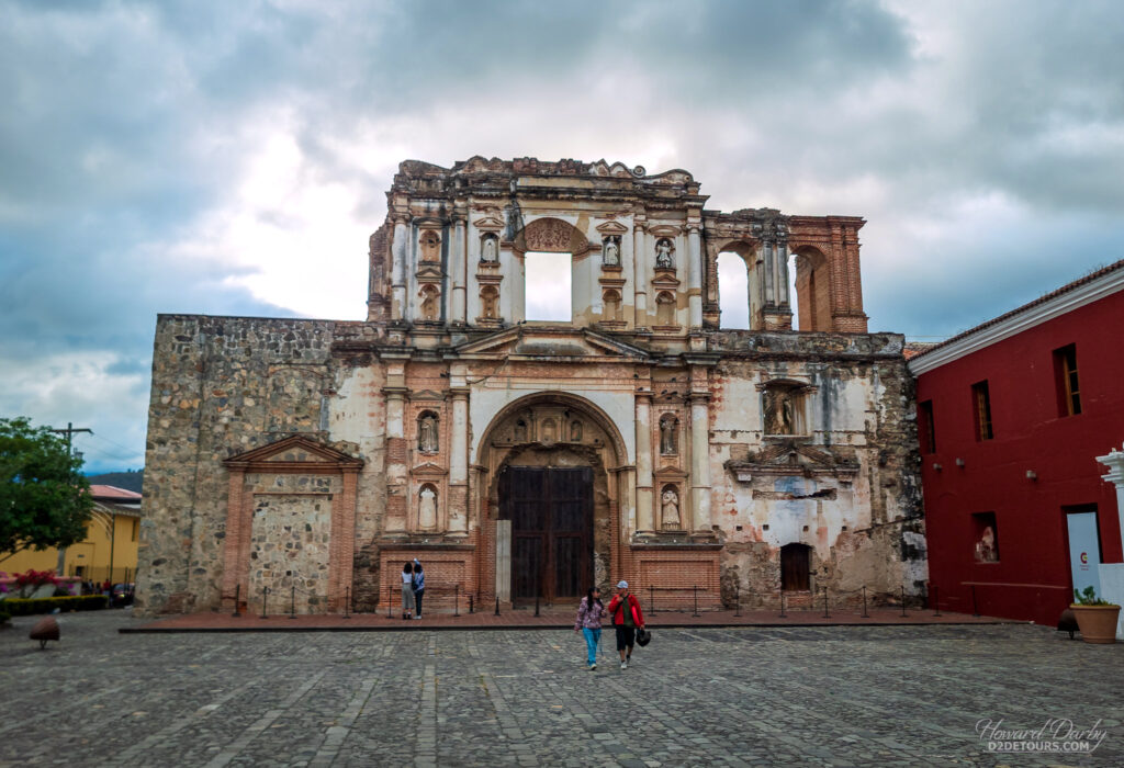
More earthquakes followed in 1751, 1765, and 1773, at which point the Spanish colonists directed that the city be abandoned, and pillaged for the construction of a new capital in an area with less seismic activity. The ruins of an old Mayan settlement 36 kilometers (22 miles) inland would again serve as the foundation for a Spanish colonial city. Nueva Guatemala de la Asunción (now known as Guatemala City) was established in 1776.
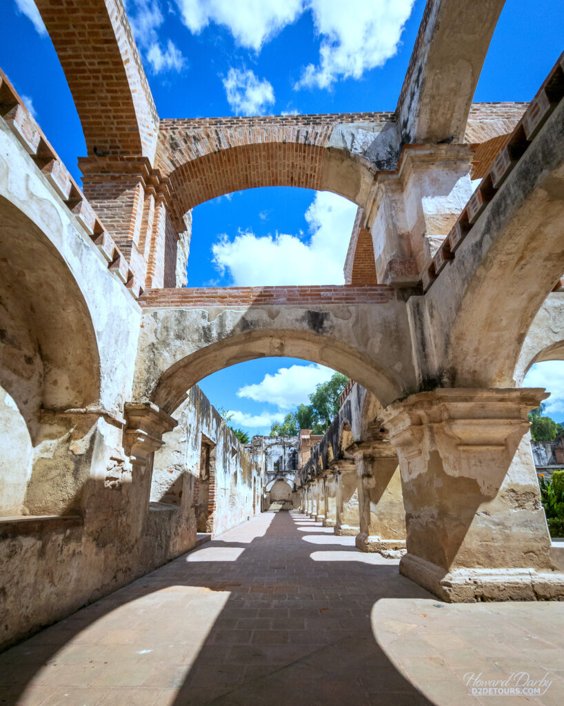
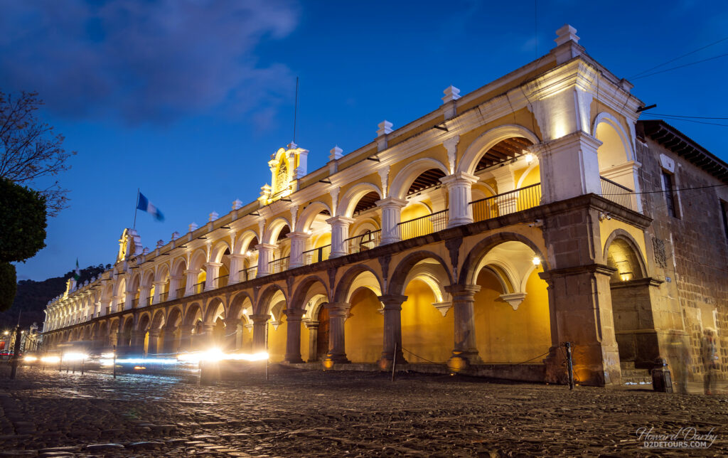
Despite orders to abandon the old capital, not everyone obeyed (including many of the clergy), and Santiago de los Caballeros de Guatemala would become known as Antigua Guatemala – Old Guatemala. In 1979, UNESCO declared it a World Heritage Site noting, “The pattern of straight lines established by the grid of north-south and east-west streets and inspired by the Italian Renaissance, is one of the best examples in Latin American town planning and all that remains of the 16th-century city.”
Fun fact: The Hass avocado, the most popular commercial variety of avocado in the world, owes its existence to Antigua. Mexico first introduced the avocado to the United States in 1870. It was a huge hit. In 1916, the California Avocado Association commissioned plant explorer Wilson Popenoe to source more seeds and samples to meet the burgeoning demand. Between 1916 and 1924, Popenoe scoured the Guatemalan countryside, finally determining that Antigua was “the most important (avocado growing) region in all Guatemala, if not one of the most important in the world,” and sent several seedling samples back to California.
Sources are a bit vague on how, in 1926, some of these seeds from Guatemala found their way into the hands of Rudolph Hass, a Southern California mail carrier whose hobby was horticulture, but they did, and he planted them in his grove. He then began grafting those seedlings with the Fuerte variety of avocado. The resulting fruit produced by these grafted trees were rather small, with an oddly bumpy skin. His children loved them. He started sharing the fruit with his co-workers and was soon stocking the shelves in a nearby Pasadena grocer. In 1935, Hass patented his tree. Owing to the size, taste, shelf-life, and high growing yield, the Hass avocado accounts for more than 95% of the California avocado crop.
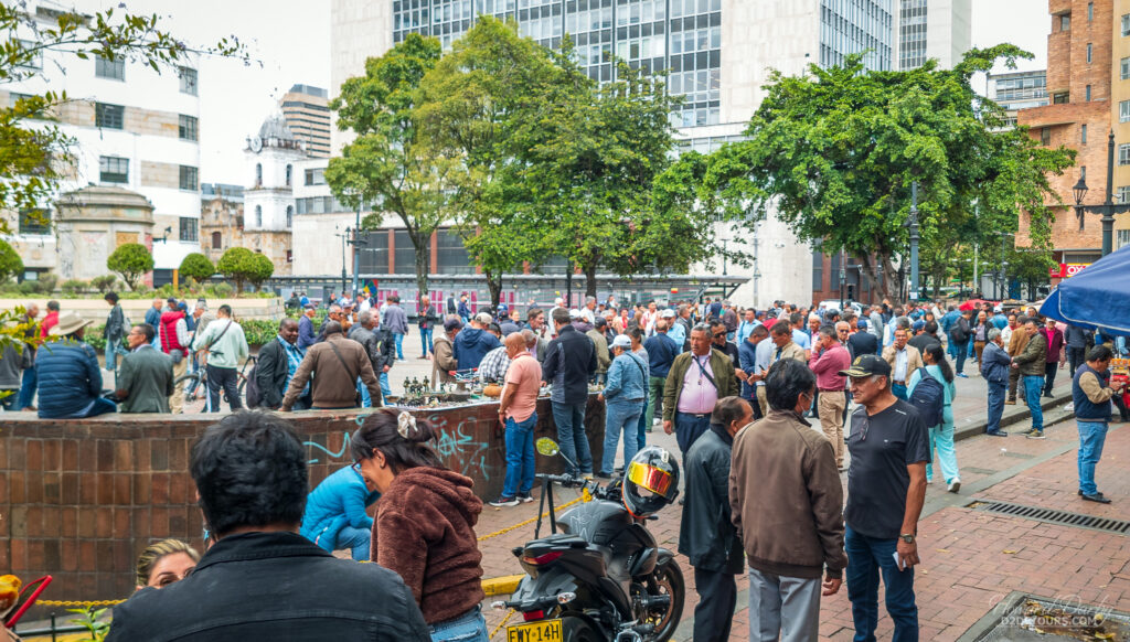
Our next stop in Latin America was Bogotá, Colombia. Likely not a bucket list destination for most people, it was the cheapest flight to South America out of Antigua. Colombia has worked hard to distance itself from its narco history, and places like Medellín and Cartagena are becoming very tourist-friendly. Bogotá is still pretty rough around the edges.
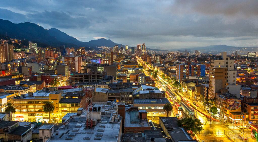
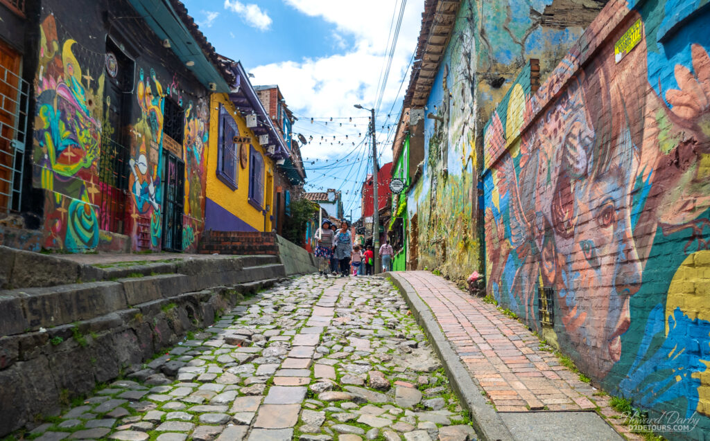
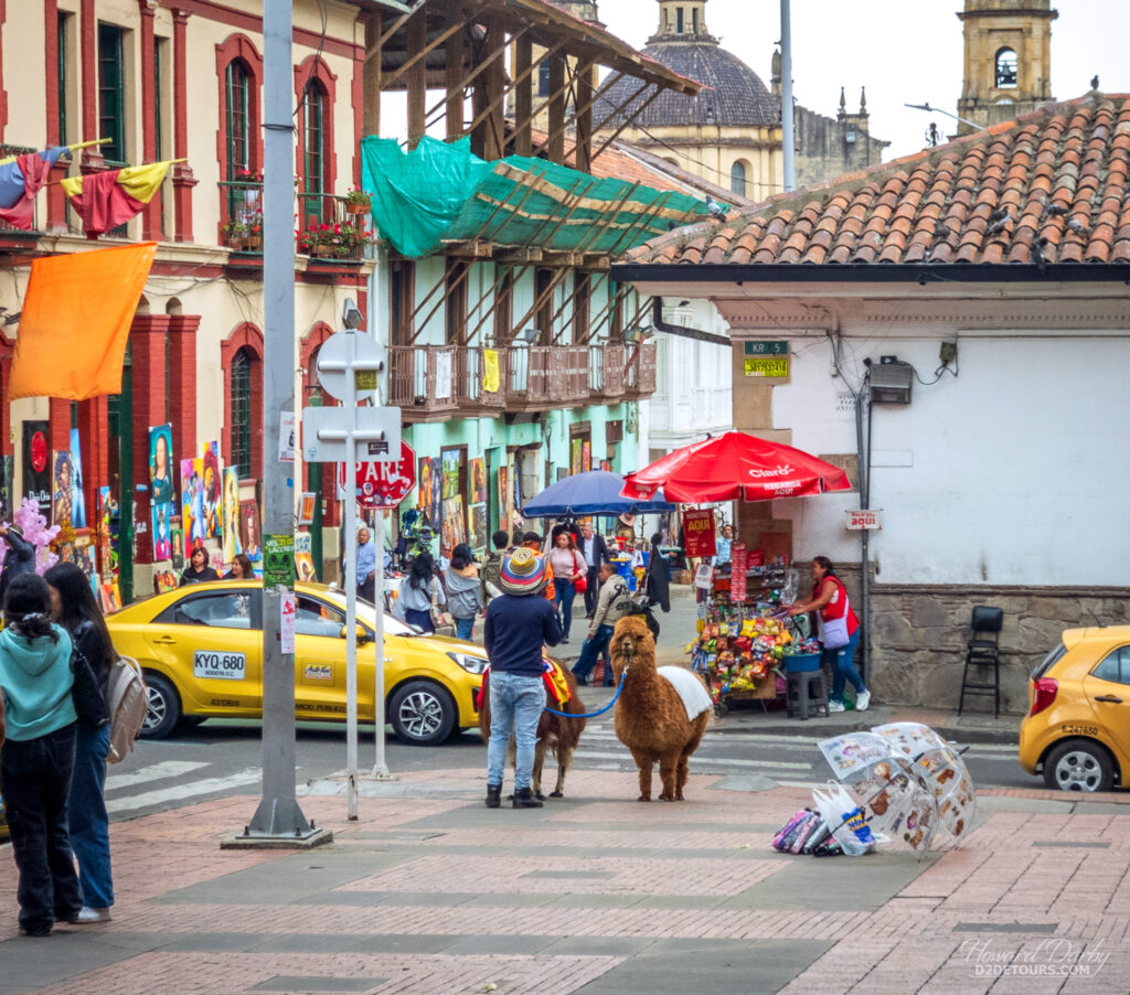
We had been warned by our Airbnb host not to walk the streets after dark, and from the safety of our condo window we did observe that the once lively daytime streets were virtually devoid of people once the sun went down. That being said, at no time did we feel like we were in danger, though it is a bit unnerving to see police with assault rifles and muzzled Rottweilers on every other street corner in the Candelaria (Old Town) neighborhood. We also watched a team of armored car guards make a delivery with all their weapons drawn as they moved through the street crowd from the truck to the store entrance.
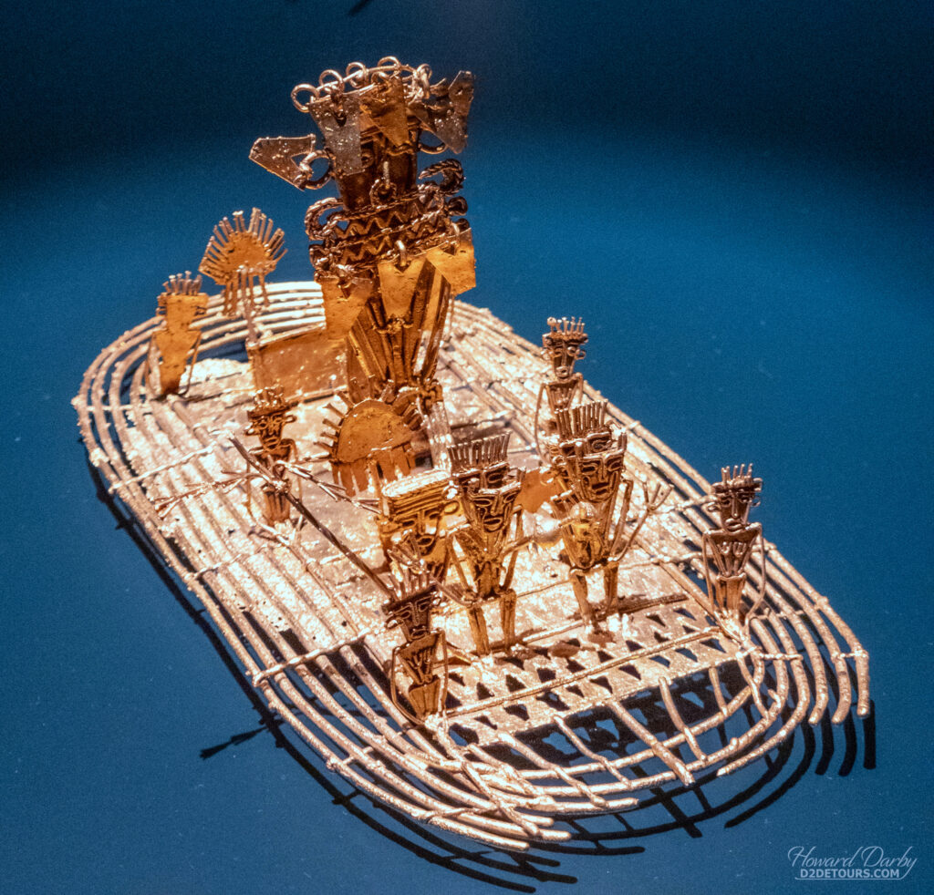
Spanish expeditions began making their way into Columbia in 1537, and many scholars believe that the area surrounding Bogotá is where the legend of a city of gold was born. Columbia is rich in gold reserves. The Muisca people (600 to 1600 CE) were highly advanced metallurgists and goldsmiths. They produced magnificent golden adornments for formal occasions and religious ceremonies, in addition to simple objects for use in daily life or to trade with neighboring tribes.
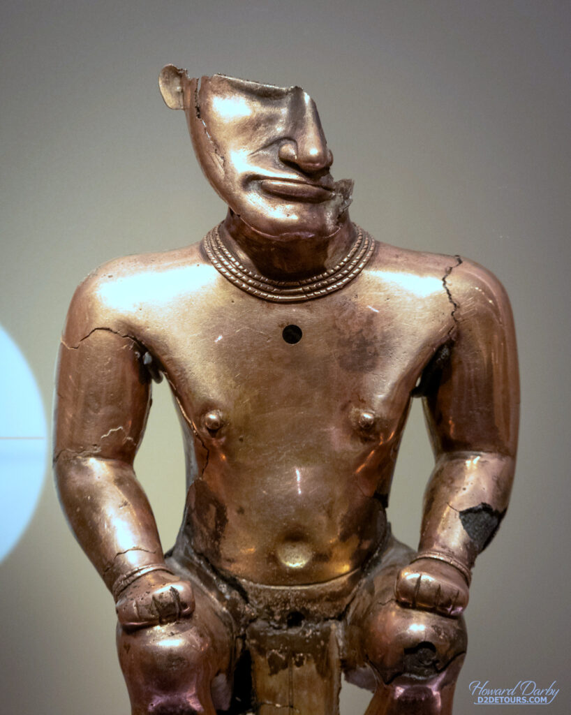
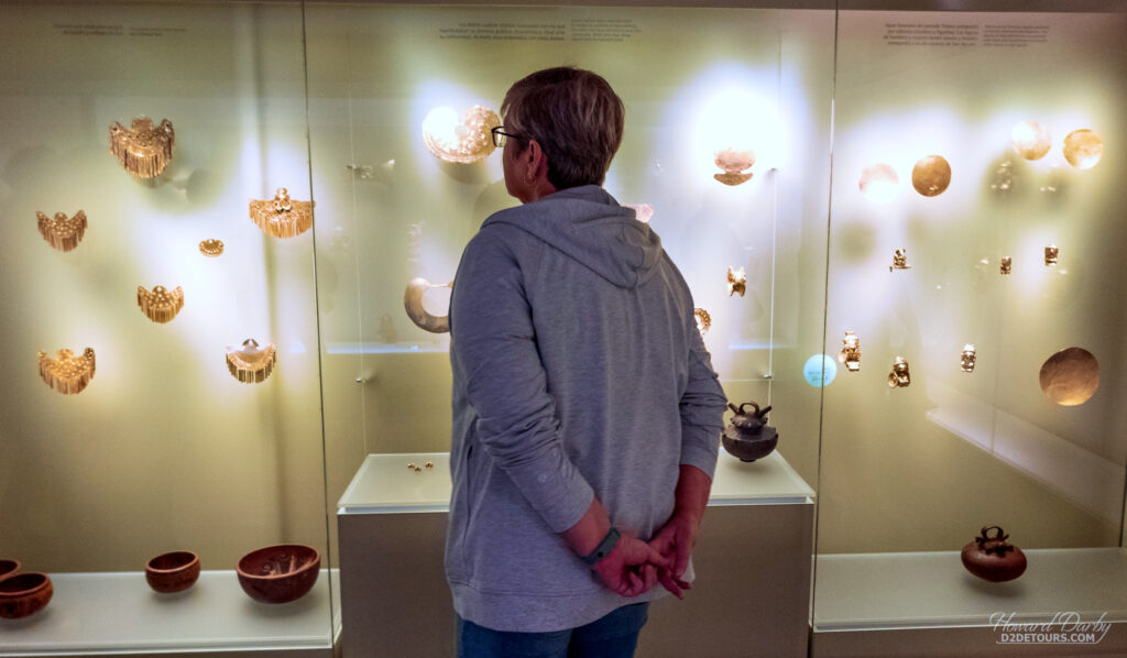
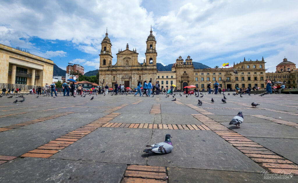
Lake Guatavita, 57 kilometers (35 mi) northeast of Bogotá, is where the ritual appointing a new Muisca chieftain was reputedly held. El Dorado (the gilded or golden one), who had been covered from head to toe with gold dust, would board a raft, float to the middle of the lake, and then dive into the water to wash off the dust. His procession to the middle of the lake was accompanied by his subjects on the shore throwing more gold coins, trinkets and precious jewels into the waters. The Spanish Conquistadors who caught snippets of information concerning this practice tried to drain Lake Guatavita in 1545, and while they did uncover hundreds of small coins, their failure to fully expose the lake bed only fueled speculation that more gold must lie at its center, giving rise to El Dorado, the mythical city of gold. The Gold Museum in Bogotá houses 34,000 pieces of Colombia’s historic gold. It is a dazzling display of some of what the Spanish didn’t manage to loot.
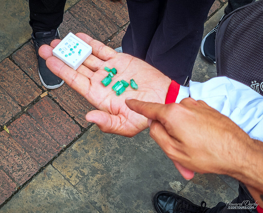
Fun Fact: Columbia is estimated to account for 70–90% of the world’s emerald market. There is an official emerald exchange in Bogotá and an unofficial one. There is nothing nefarious about the brokers at the unofficial exchange, they are selling quality, loose gems and will walk with you to the official exchange if you want to obtain a certificate of authenticity. These generational sellers are selling gems direct from the mines, and don’t need to charge the official value added tax the jewelers and the official exchanges are obligated to pass along to their customers. Don’t for a minute think this crowd is an easy target for thieves, the brokers are all “packing.” Three robbery attempts have been made on the sellers in Rosary Square, and none of the perpetrators lived to enjoy their ill-gotten gains.
Next up, Peru and Bolivia.
While I do appreciate the historical information, would love to know more about what you did in Guatemala.
Pingback: Howard's Favourite Photos From 2025 - D2 Detours