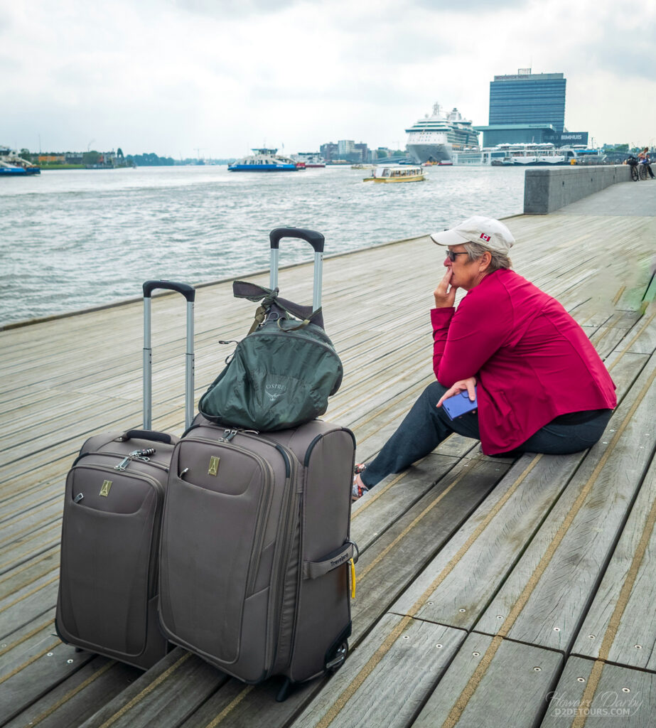
For us, cruising has always been about the ports of call rather than the activities or entertainment onboard the ship. We both agreed this 15-day sailing with seven ports, two of which (in Iceland) were extended stops of more than 24 hours, tops our list of cruise itineraries.
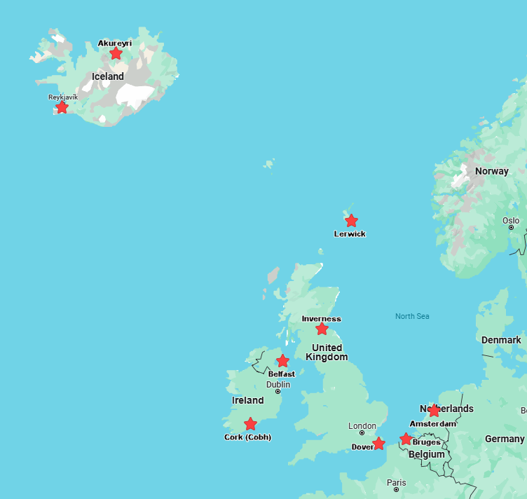
We boarded the Royal Caribbean Jewel in Amsterdam, setting sail across the English channel, docking the next morning.
DOVER, UNITED KINGDOM
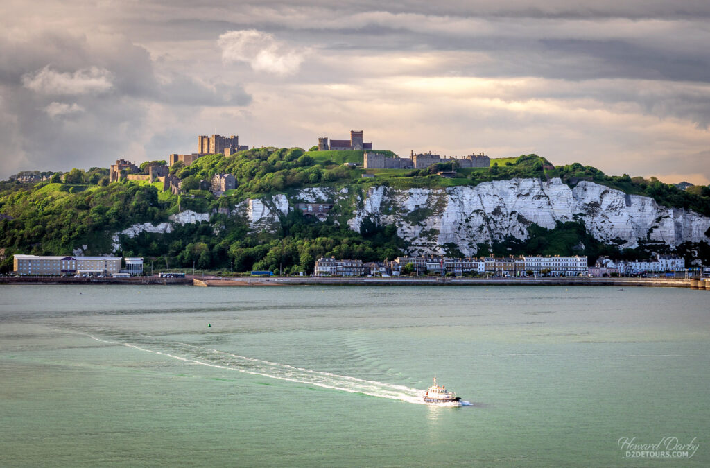
The port of Dover, flanked on either side by towering white limestone cliffs formed millions of years ago, has earned the nickname the “Lock and Key of England.”
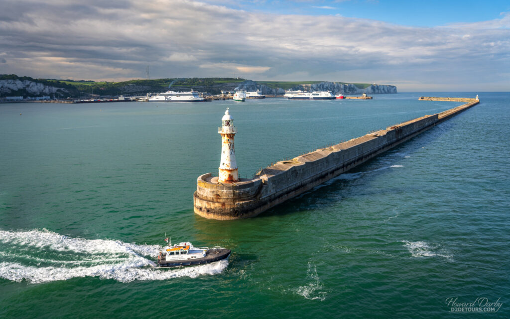
As a gateway to the island, invaders like Julius Caesar, William the Conqueror, Napoleon, and Hitler all plotted their British invasions with Dover as the point of entry. Today it is the world’s busiest passenger ferry port – roughly 16 million people enter the UK annually through this seaport, travelling from Calais and Dunkirk in France.
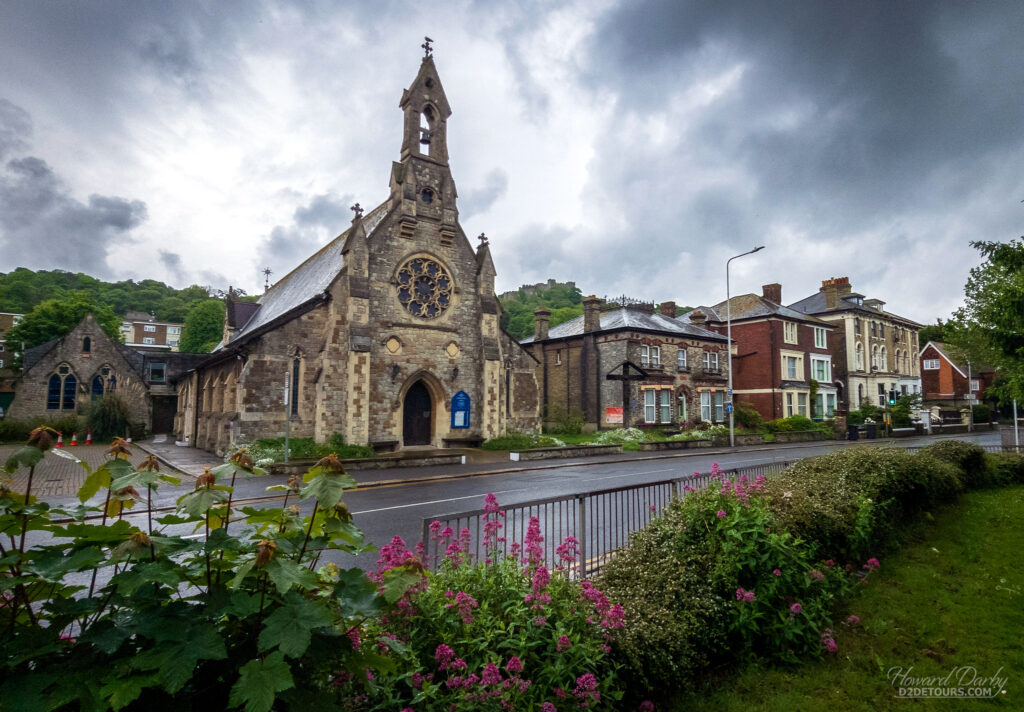
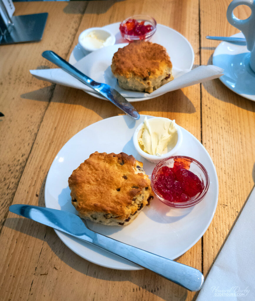
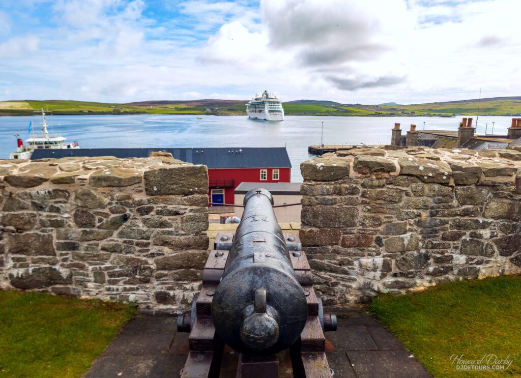
We spent our day in port wandering the town streets, hiking up to Dover Castle perched 114 meters / 375 feet above sea level, before treating ourselves to some scones with clotted cream. We were first introduced to clotted cream by Howard’s uncle during a 1991 trip to visit his family in Devon, one of the counties that lay claim to its origin (Cornwall is the other county – hence its aliases Devonshire or Cornish cream). Thicker than whipped cream and sweeter than butter, clotted cream has a VERY high fat content (a minimum of 55 percent though more often than not creeping upwards to 64 percent!) and is made by slow-baking the cream in a water bath. It is heavenly slathered on a scone and then topped with a dollop of jam.
INVERNESS, SCOTLAND
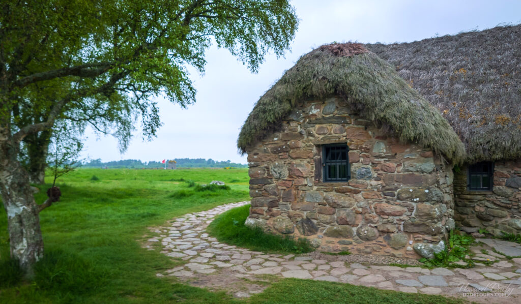
We didn’t think Inverness exuded much charm; it felt somewhat dingy. To be fair, we spent very little time in the actual city, instead taking a 25-minute bus ride out to the Culloden Battlefield, the last, and bloodiest, battle of the Jacobite Risings.
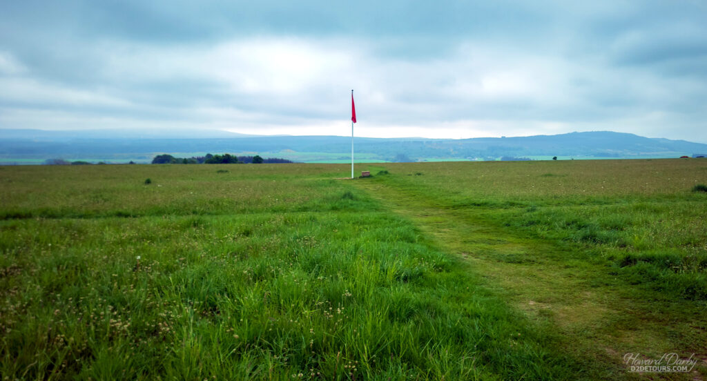
The Protestant-led Glorious Revolution of 1688 ended the reign of the Catholic sovereign James II, forcing the House of Stuart (whose male descendants had been ruling Scotland since 1371) into exile in France. Almost immediately supporters of James II, who called themselves Jacobites (Jacobus is Latin for James) began staging rebellions seeking to restore the Stuarts to the thrones of England, Ireland, and Scotland. In April 1746, British government forces decisively ended the hopes of the Jacobites on the Culloden battlefield. The resulting Act of Proscription 1746 was part of a series of not-so-gentle efforts to assimilate the Scottish Highlanders. The Dress Act 1746 (aka Disclothing Act) was one of those measures and made wearing “Highland Dress,” specifically the kilt, illegal.
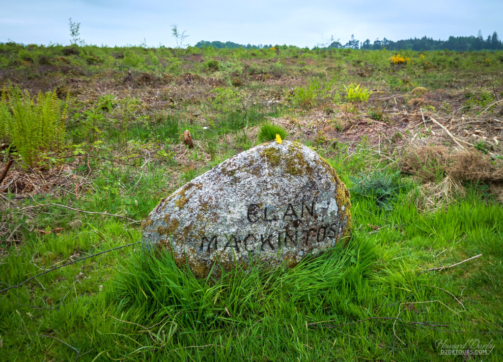
Interestingly, although the Scots all wore coloured woolen kilts the notion that each Scottish clan had a unique tartan is a fairly modern concept. Apparently, Queen Victoria (1819-1901) was completely enamoured with Scottish history. An enterprising group of guests presenting the queen with a series of tartans decided to arbitrarily assign clan names to each fabric and the designations stuck. The battlefield isn’t much more than a field, but the Visitors’ Centre has an exceptionally well-organized museum explaining the uprisings from the point of view of both the British and the Scots.
LERWICK, SCOTLAND (Shetland Islands)
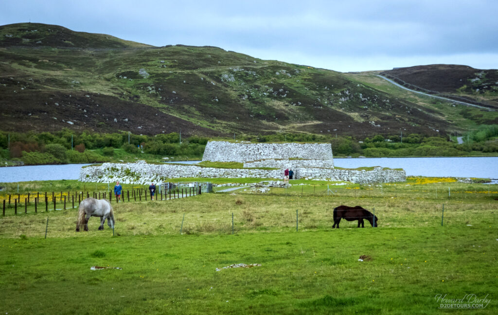
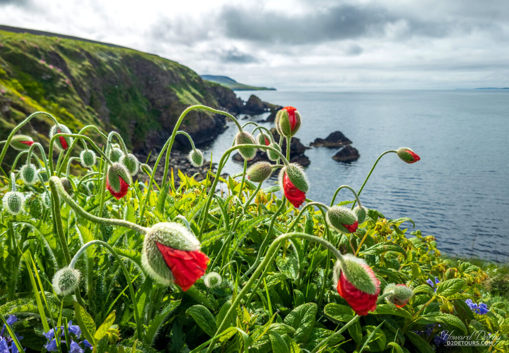
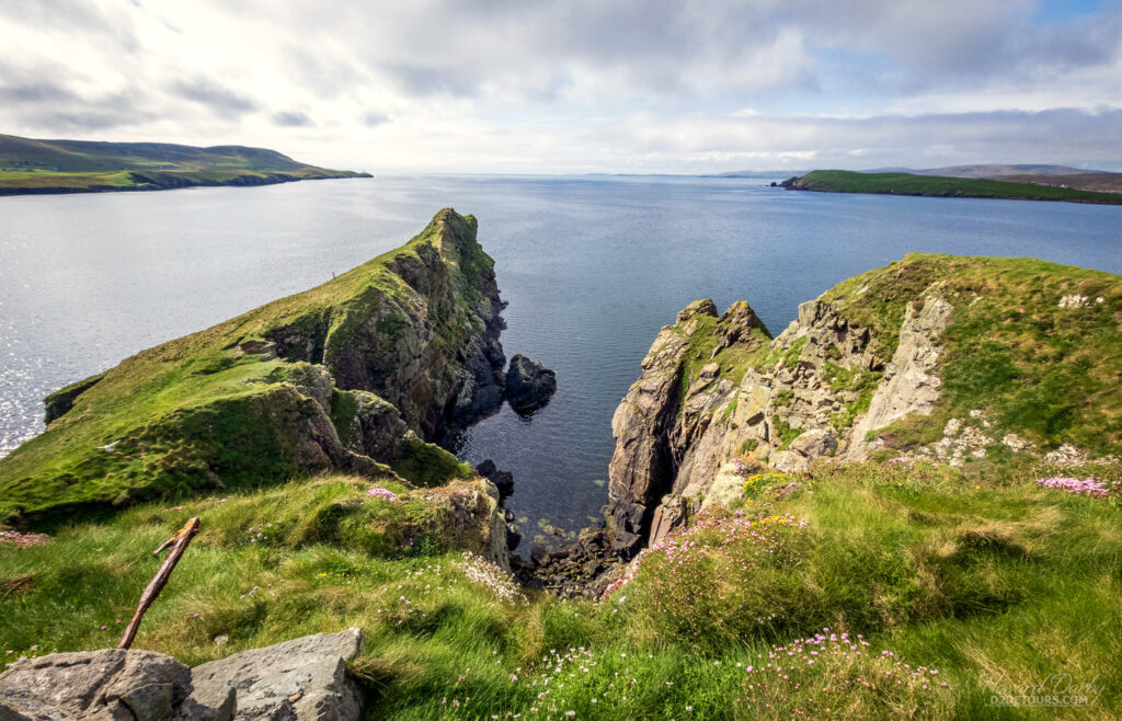
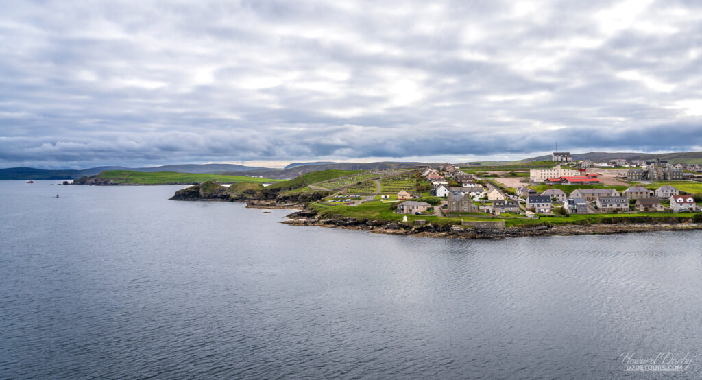
The Shetland archipelago consists of roughly 100 islands and is the United Kingdom’s northernmost region. The original inhabitants of the islands were the Picts who lived in the northern and eastern parts of what is now Scotland.
For roughly 500 years their society flourished in the north until the Vikings landed on their shores in the 9th century. The Picts were eradicated. The islands remained part of the Nordic kingdoms until roughly 1468 when the king of Denmark sought an alliance with Scotland by marrying off his daughter. He wasn’t able to pull together enough cash for a dowry, so pawned the Shetland Islands to the Scottish king. Despite the Danes’s subsequent efforts to regain the islands, the Scots refused to engage in negotiations.
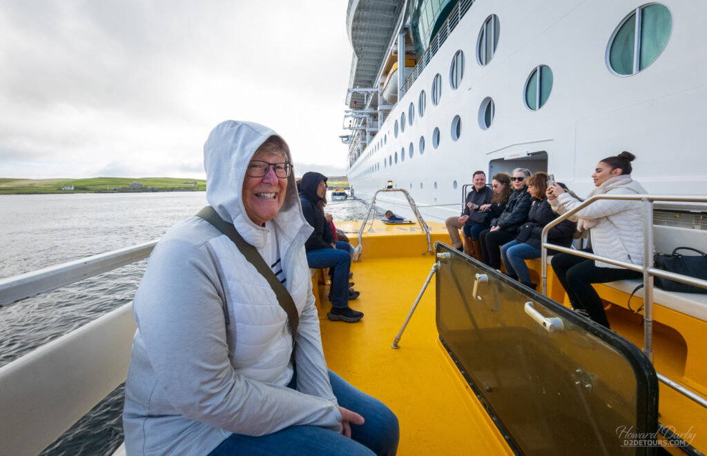
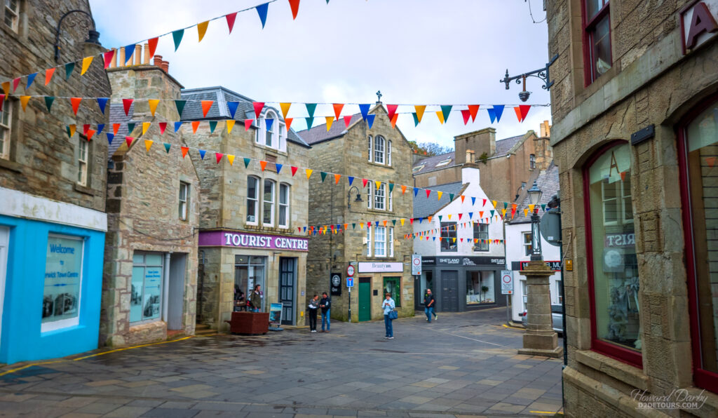
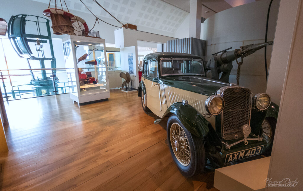
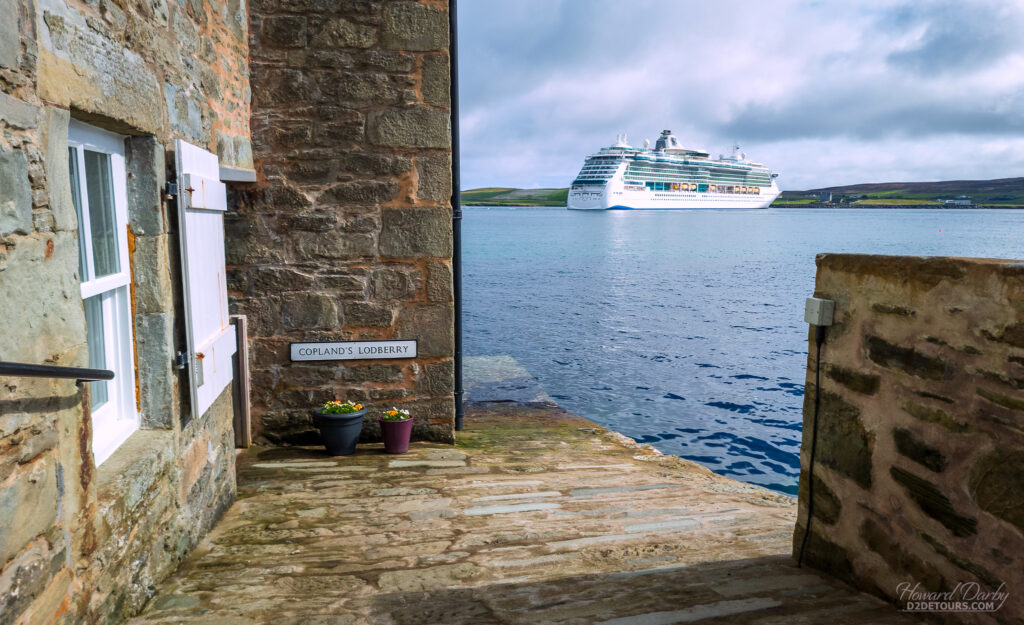
Lerwick, with a population of 7,500, is the largest of the Shetland settlements and sits on “the mainland,” the largest of the islands in the archipelago. Its name is derived from Old Norse and means Bay of Clay; several towns in southwestern Norway are similarly named. Despite its Norwegian name, the village of Lerwick only dates from the 17th century when it was established as a seaport to trade herring with the Dutch. Most of the sandstone public buildings along the waterfront are from the 18th century, and the North Sea oil boom in the 1970s led to significant housing developments. It is an extremely well-kempt town. We finished our tour of the area at the town’s historical museum which is chock full of artifacts and historical information from antiquity through to modern-day (and it’s free). One very apropos exhibit talked about native Shetlander Arthur Anderson. In 1862, he co-founded the Peninsular and Oriental Steam Navigation Company (known today as P&O Cruises) and is credited with inventing the concept of cruising.
ICELAND
As part of our retirement travels Iceland was an elusive destination. Everything we’d read led us to believe it was simply outside our normal budget – and having now visited there it would be! Gas was the equivalent of $3.24/litre CAD ($9.48/gallon US), hotel rooms started at $200/night CAD, car rentals were $100/day CAD (minimum), and one restaurant we passed (with an a la carte menu) listed a ribeye steak for $98 CAD and four chicken wings were $25/CAD! It was, however, ideal as a shore excursion from a cruise ship.
Historians believe much of the Viking exploration in the 9th century was in search of new farmland. Unlike the British Isles, Iceland was uninhabited which avoided the messy task of wresting control of the land from the pesky natives. By 930 CE, the Norsemen were well settled on the island and had established a form of governance known as the Alþingi (Althing), believed to be one of the oldest surviving parliaments in the world.
Iceland remained subjugated to the Norwegian and Danish kingdoms until 1918 when it became a quasi-independent sovereign state with its own constitution, yet remained in a “personal union” with Denmark. A referendum in 1944 dissolved that union; full independence was achieved.
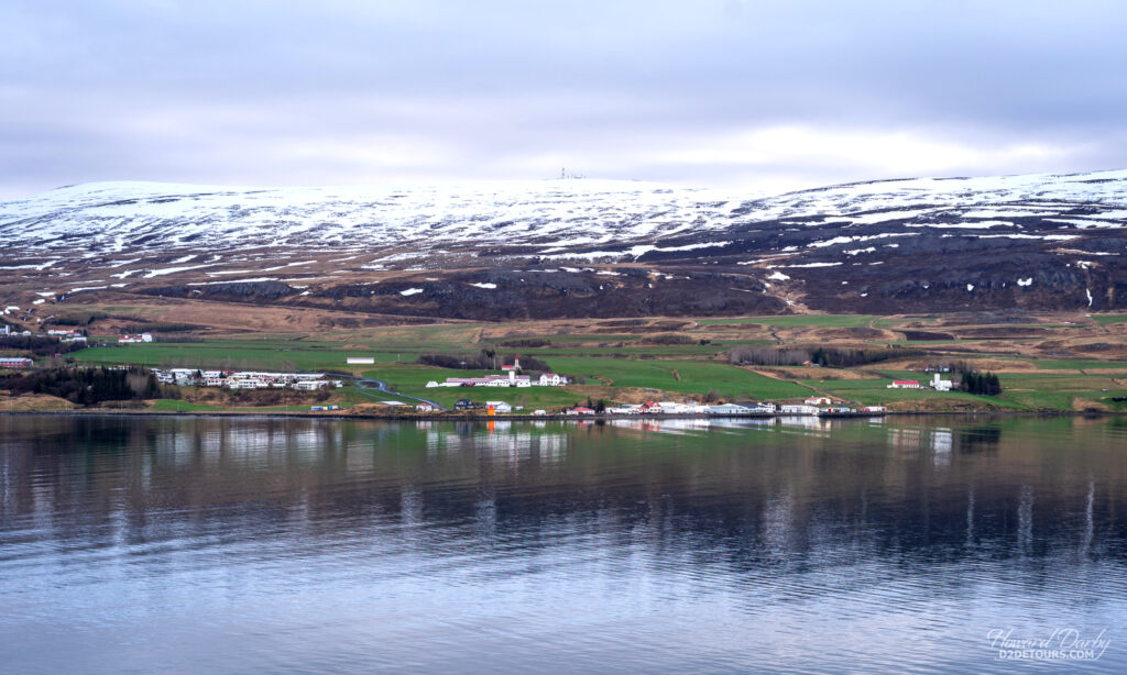
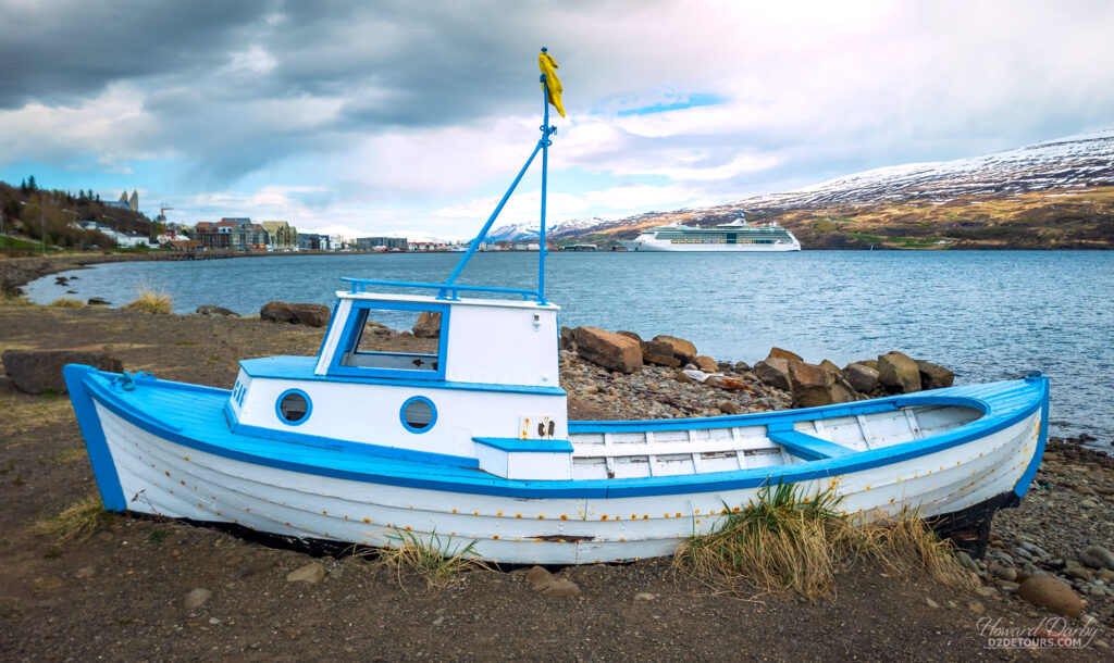
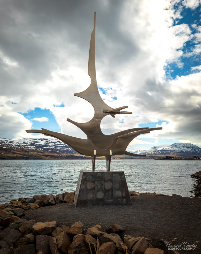
Our first Icelandic stop was the town of Akureyri (Aah-Ku-Ray-Ri), a fishing port in the northern part of the island. Despite this northerly position, its climate is relatively pleasant (8°C / 46°F in May), and thanks to the Gulf Stream, the surface temperature of the waters surrounding the island is warm enough that Akureyri’s harbour remains ice-free year round.
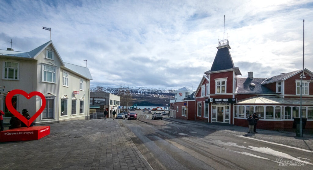
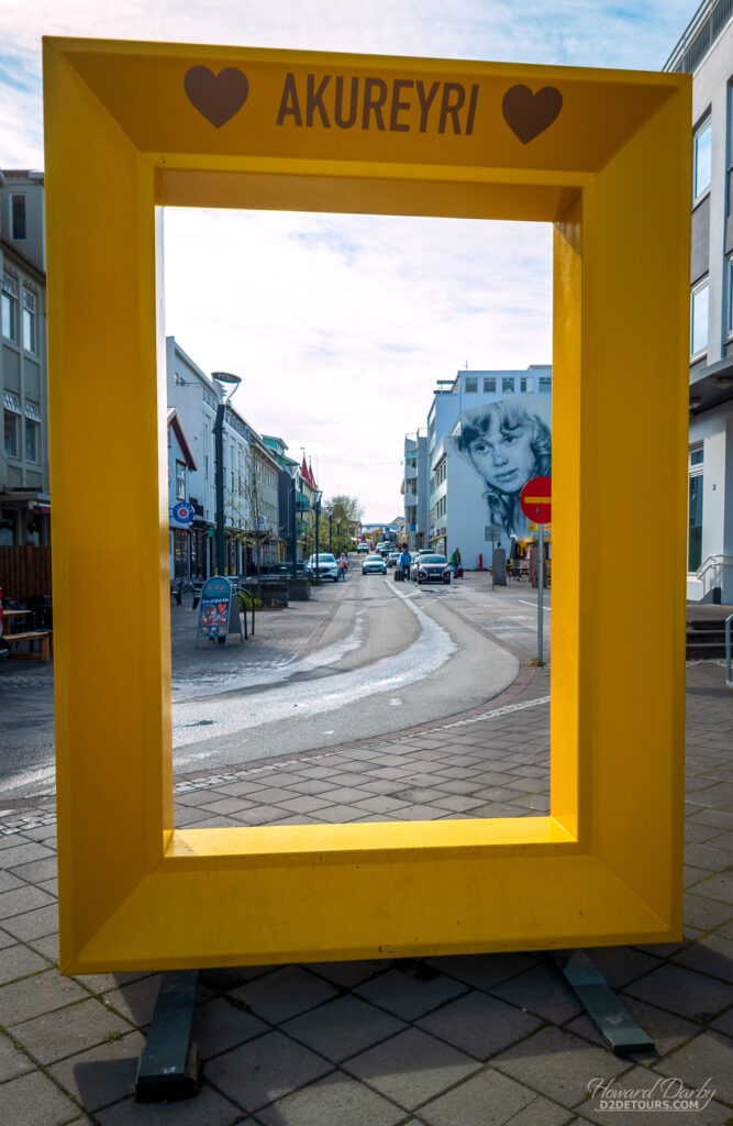
Its name translates to Sandbank Field which is likely a reflection of the fertile soil and favourable growing conditions the Vikings found. The highlight of our day here was taking the public bus to Goðafoss (Go-Thuh-Foss) about 45 minutes outside the town.
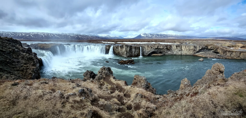
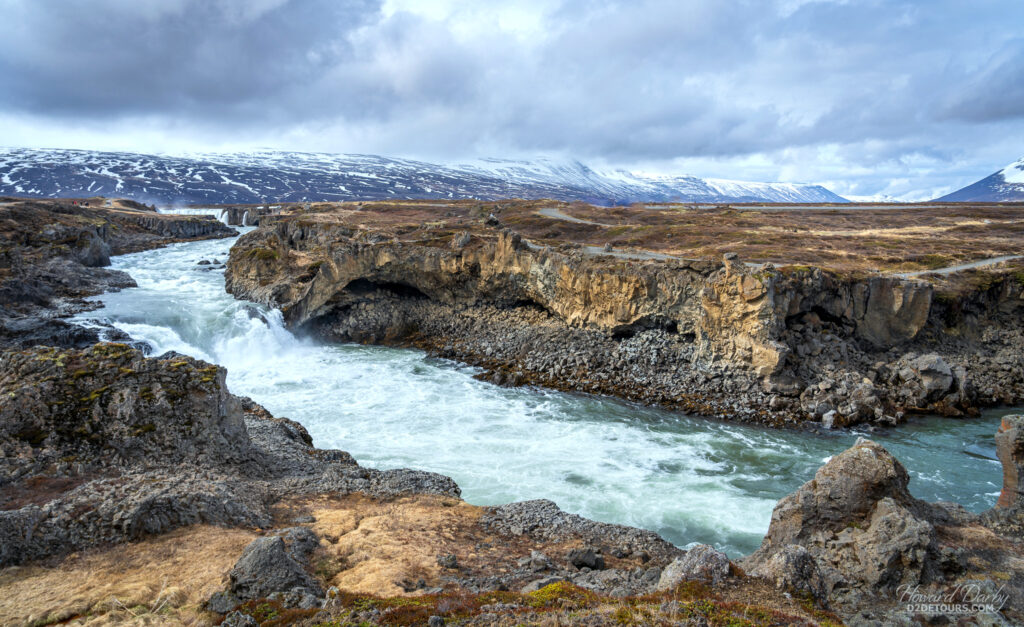
The Waterfall of the Gods is so named because as Christianity swept across the island at the end of the 10th century this was the spot where the local Earl jettisoned all of his pagan idols. It is a stunning display by Mother Nature as the 30-meter / 98-foot wide waters of the Skjálfandafljót river (I have no idea how you pronounce that) cascade down from a height of 12 meters / 39 feet.
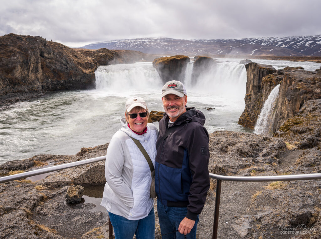
Akureyri is the furthest north we’ve ever been, and the closest we’ve come to experiencing never-ending daylight even though we were still a month from the summer solstice. The sun “set” about 11 pm and rose around 3 am, however, those intervening hours weren’t dark, more like twilight. Very otherworldly.
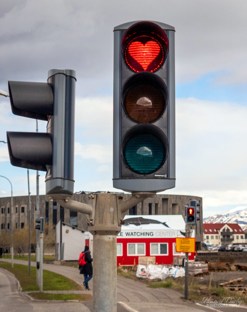
The first permanent settlement in Iceland is believed to be where Reykjavík (Rayk-yuh-vik) stands today, although it wasn’t until the late 18th century that this trading port was officially founded as a city. It is the capital of Iceland and the largest urban center with a population of 140,000. Its name, which means Smoke Bay, is no double a reflection of the pockets of steam rising from subterranean hot springs and escaping through cracks in the surface.
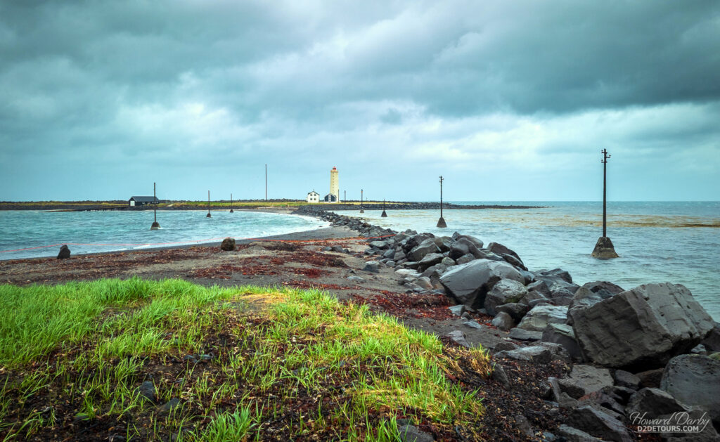
We shared the cost of a car rental with a delightful couple from Georgia whom we met on board the cruise ship and set out from Reykjavik to follow the Golden Circle, a 250-kilometer / 155-mile loop past some intriguing scenery. These are the highlights:
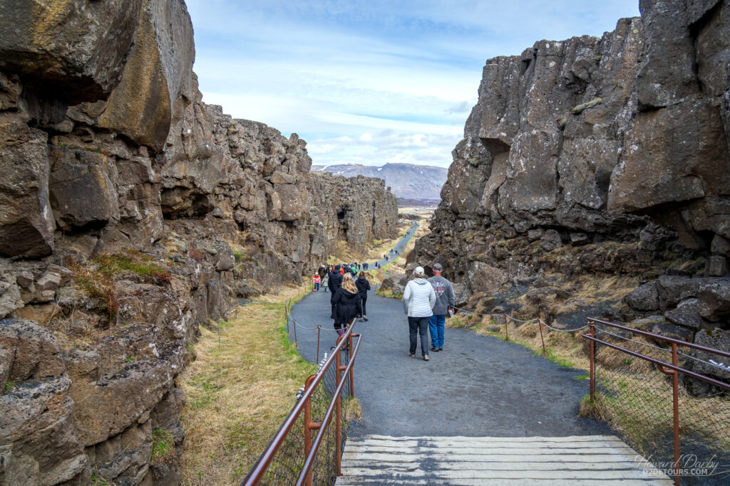
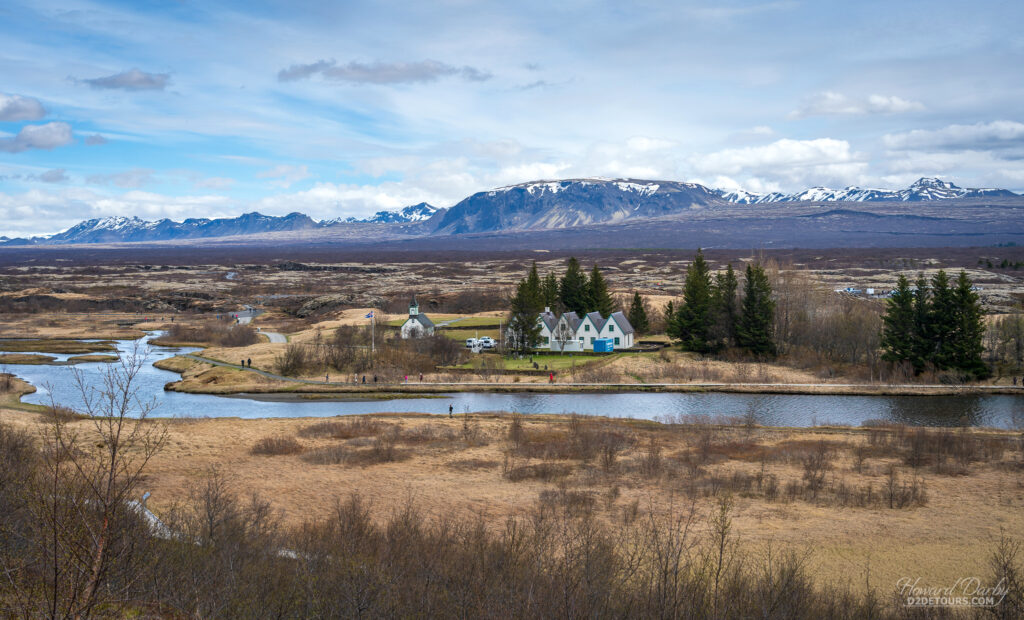
Þingvellir National Park sits in a rift valley created from the separation of the tectonic plates of Eurasian and North America. Not only is the park a natural wonder, it has witnessed two significant events in Iceland’s history. The Althing, the Icelandic parliament, (see the picture at top of this article) began meeting on this site in 930 CE, and on June 17, 1944, it was here that Iceland proclaimed its independence from Denmark.
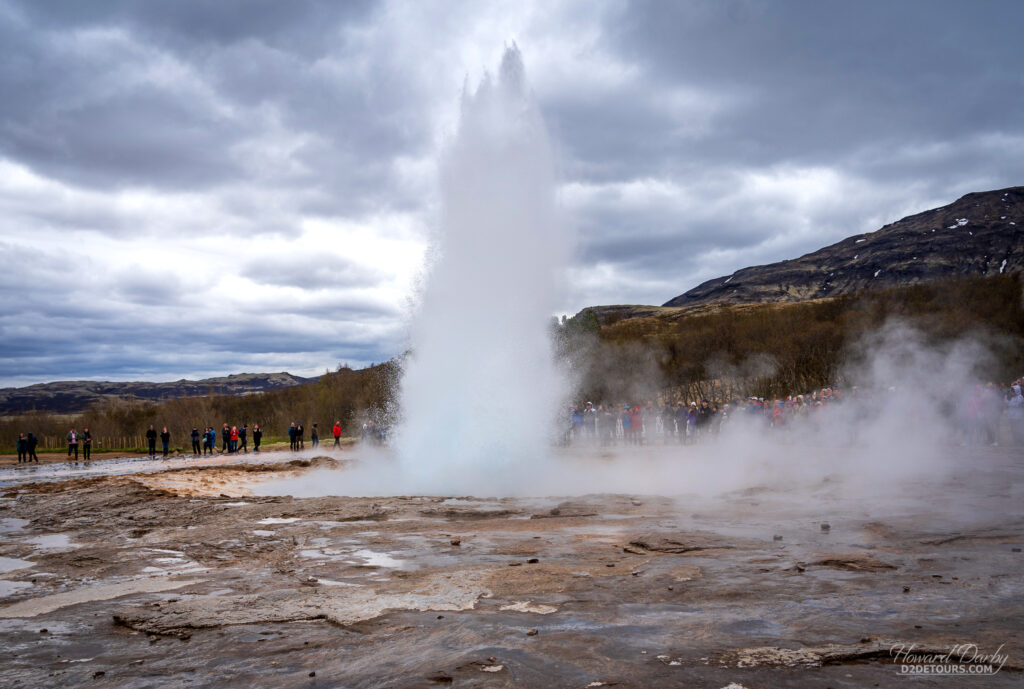
Iceland’s geothermal activity is on full display with The Great Geysir, which sends a spectacular spray skyward every five to ten minutes. Geological studies indicate this geyser has been belching boiling water since 1150 CE.
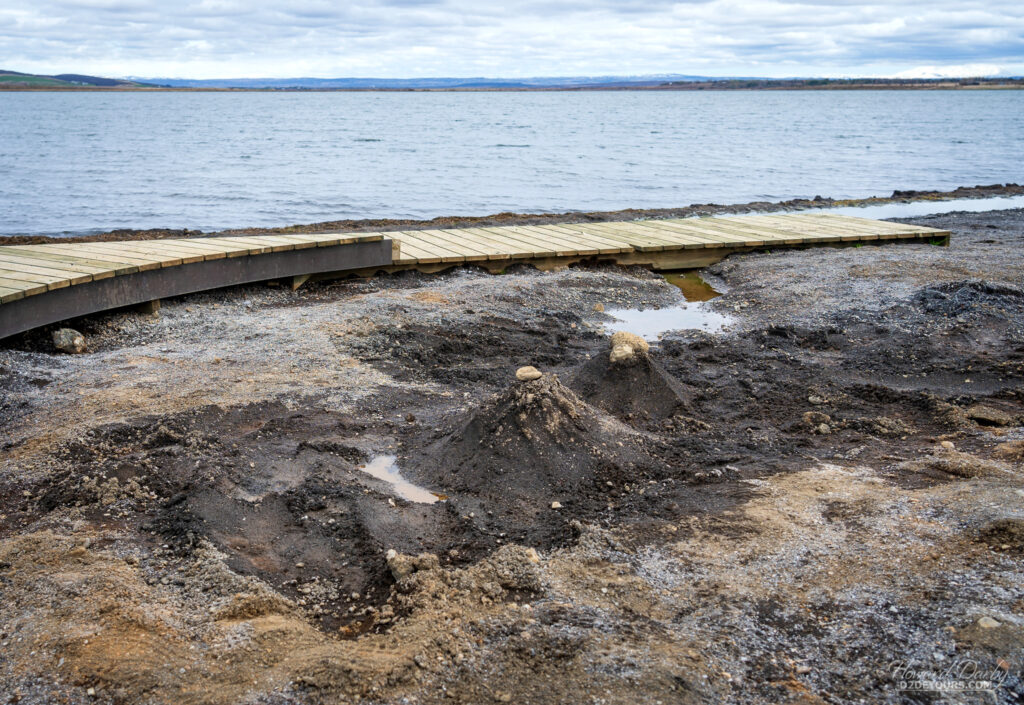
Iceland has approximately 45 natural hot springs burbling through to the surface. While many are used for spas featuring saunas and mineral pools there is also a long tradition of using the super-heated water for baking bread. A hole is dug in the sand until boiling water (signage around the thermal hot spots warned that the water temperature is 100°C / 212°F ) is reached. A pot filled with dough is lowered down, the hole is refilled with sand and the bread is left to bake for 24 hours.
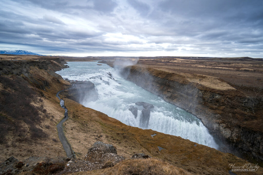
Probably the best-known waterfall in Iceland is Gullfoss and while it is impressive, I thought Goðafoss was more awe-inspiring. On average, every second, 100,000 liters / 26,000 gallons of glacial water from the river Hvítá plunges 31 meters / 101 feet down into the Gullfossgljúfur canyon.
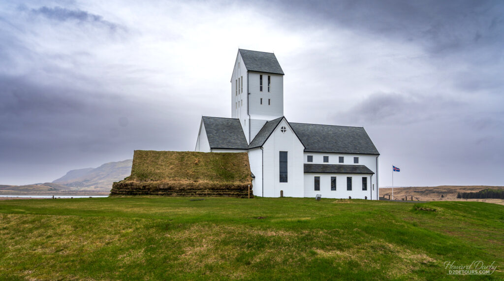
Not too far from Gullfoss, on the river Hvítá, is one of the most important religious sites on the island, Skálholt, where the first official school to educate clergy was founded in 1056 CE.
The last stop for us on our Golden Circle tour was the Kerið crater, a volcanic lake formed 6,500 years ago. In my opinion, this was the prettiest natural formation we saw in Iceland. The Icelandic landscape is striking, and the waterfalls are breathtaking, but in early Spring before everything thing is in full bloom it is rather apocalyptic.
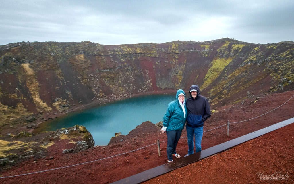
We booked our car rental through a local company (Mycar) that had great reviews although only offered two-day rentals (which was still more economical than booking a single day through one of the major agencies) so we spent the next morning doing a quick tour of the city of Reykjavík. The weather was rather nasty and we were most appreciative of having a vehicle to move between the sights.
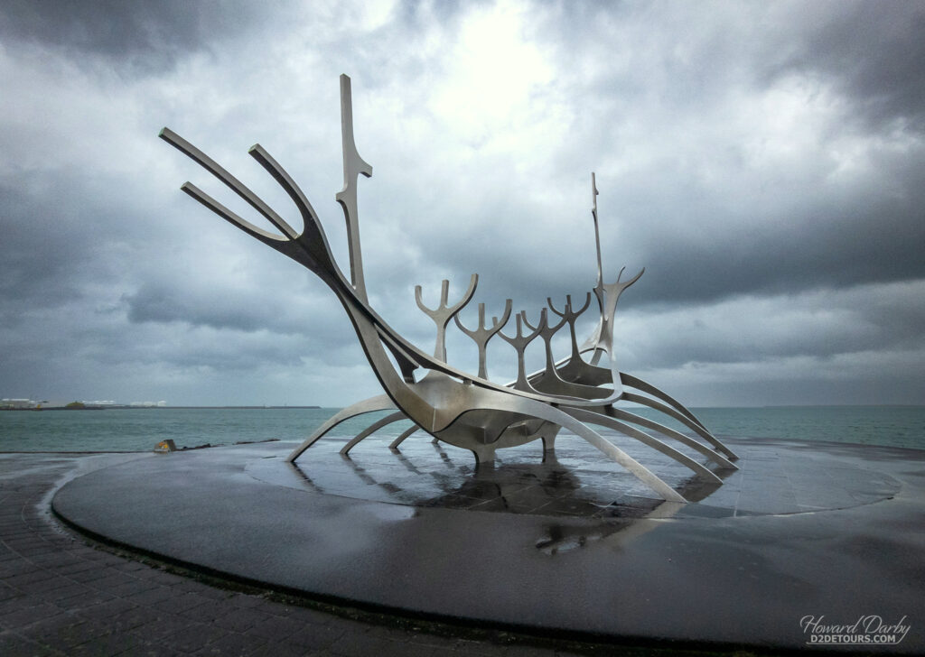
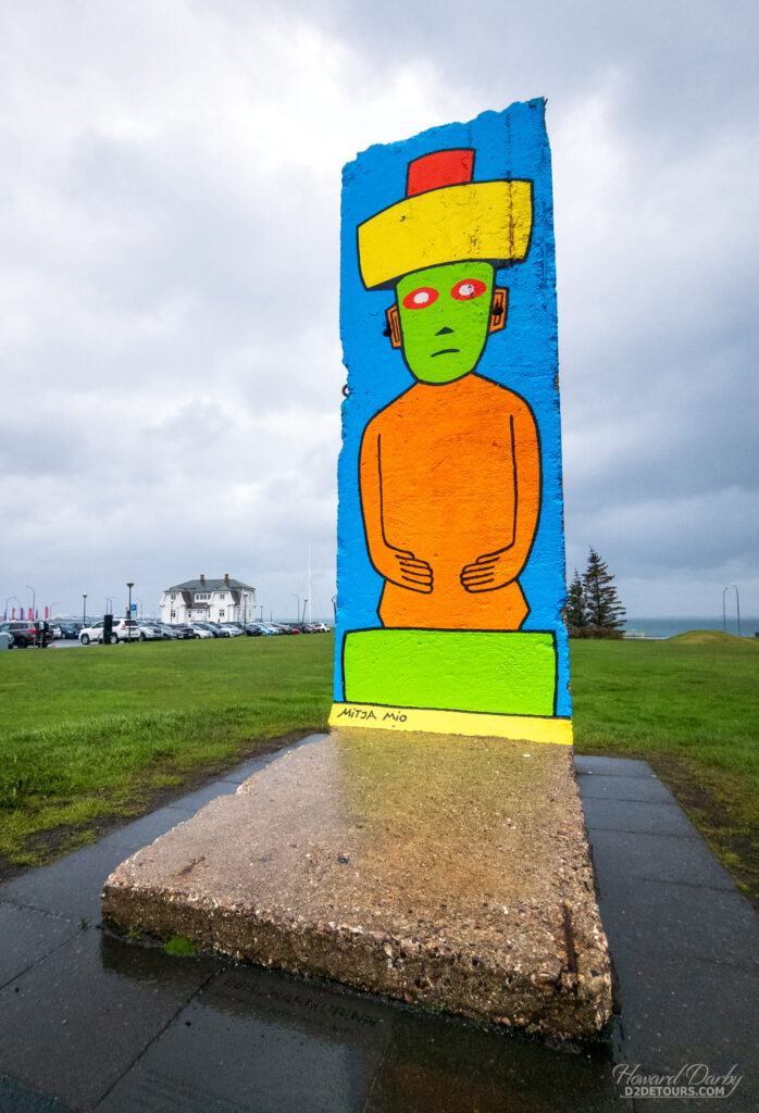
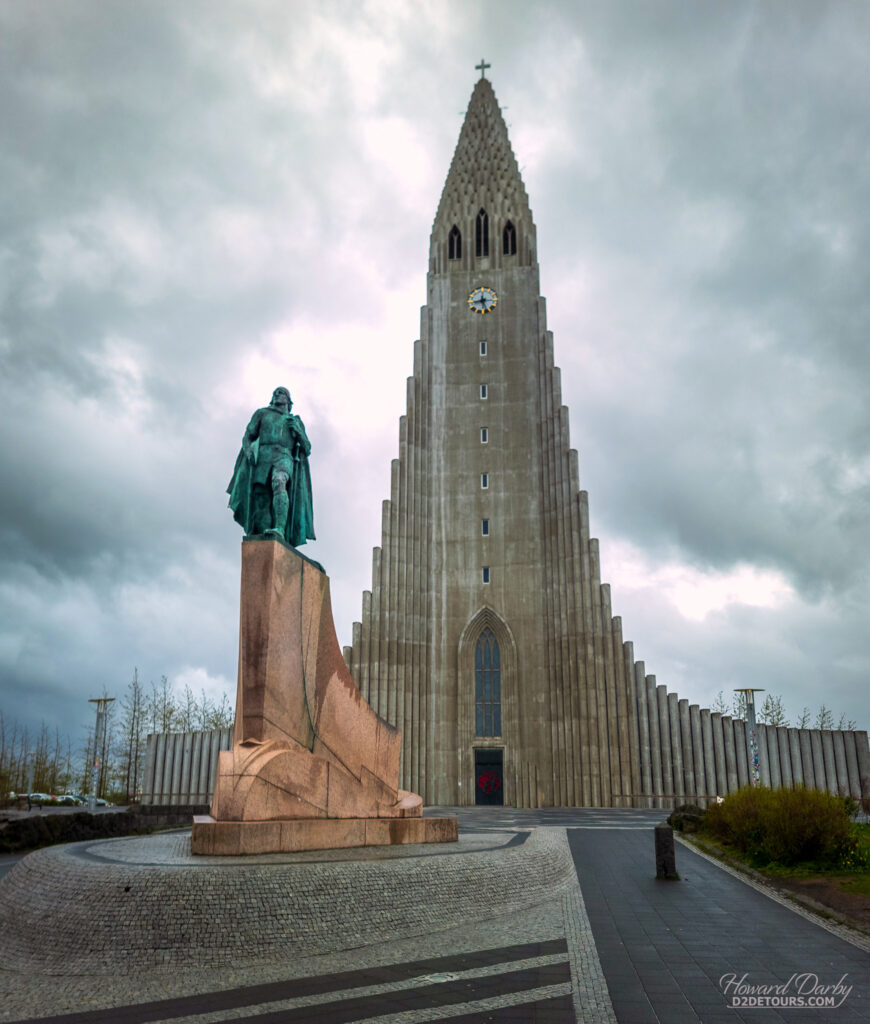
The nasty weather in Iceland continued as we sailed towards Ireland, High winds and rough seas delayed our arrival in our next port by a little more than two hours which was unfortunate.
BELFAST, NORTHERN IRELAND
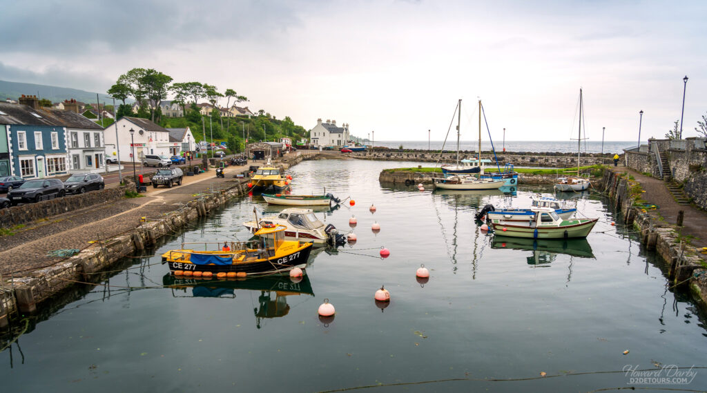
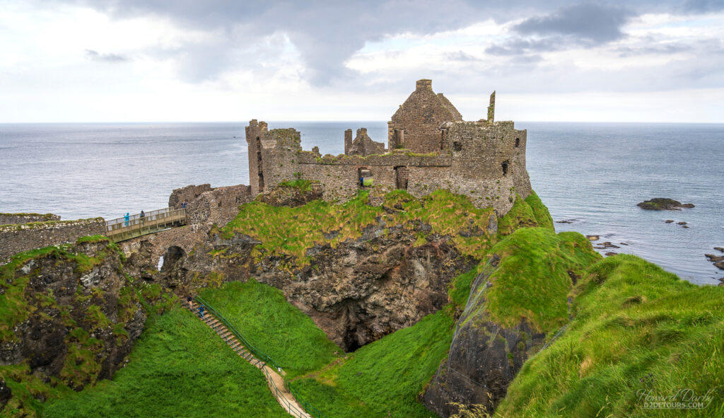
Our goal for a shore excursion in Northern Ireland was to get to the Giant’s Causeway, a natural formation of roughly 40,000 interlocking basalt columns thrusting upwards from the earth’s surface, the result of ancient volcanic activity. The Causeway is about 96 kilometres / 60 miles from Belfast (1¼ hours driving time, on the motorway) and rather than joining a tour, we opted to rent a car. When we told the rental agent where we were going he suggested we follow the Causeway Coastal Route, which is a picturesque highway hugging the coastline and due to its narrow width does not allow bus traffic. He assured us we’d have enough time to get to the Causeway and still get back to the cruise port within our six-hour timeframe. What he didn’t account for was how much time we’d spend stopping to take pictures along this beautiful stretch of road.
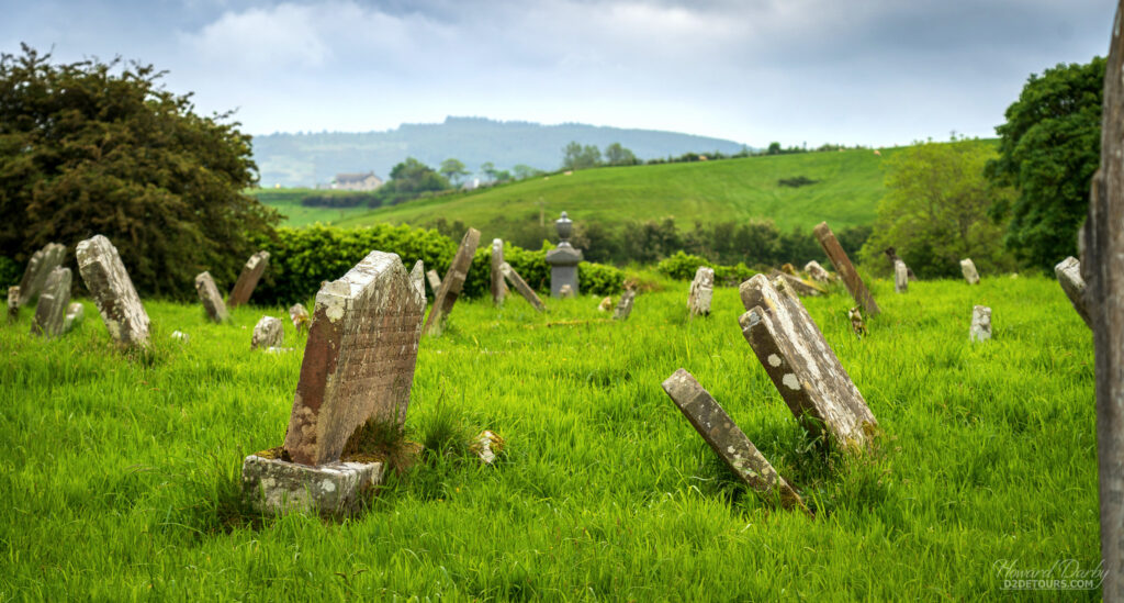
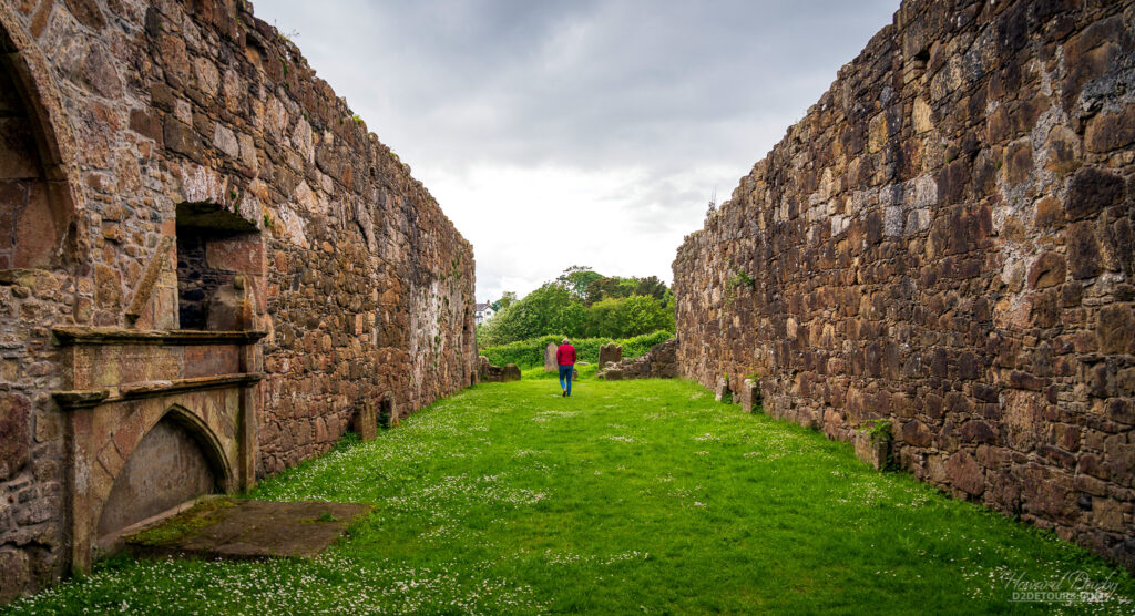
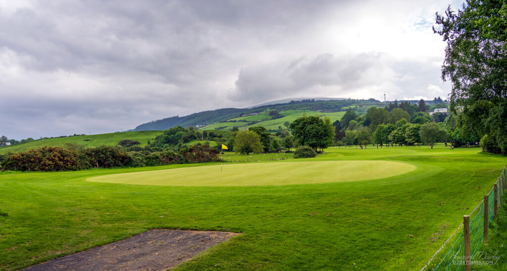
I don’t know how many shades of green there truly are, but I think every single one of them is present in the Irish countryside! We meandered our way up to the Causeway and by our calculations we still had 30 minutes to walk the coastline before we had to hightail it back to the cruise terminal. Sadly, the parking lot is a 20-minute walk from the start of the Causeway walking path, with of course another 20 minute walk back to the car! Had weather not delayed our ship’s arrival by two hours we would have had plenty of time. So we can say we’ve been Causeway-adjacent but can’t add it to our list of UNESCO sites visited. Oh well, the Coastal Route really was gorgeous.
CORK (COBH), REPUBLIC OF IRELAND
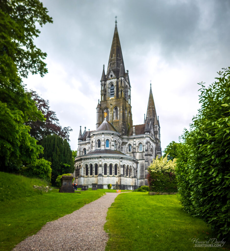
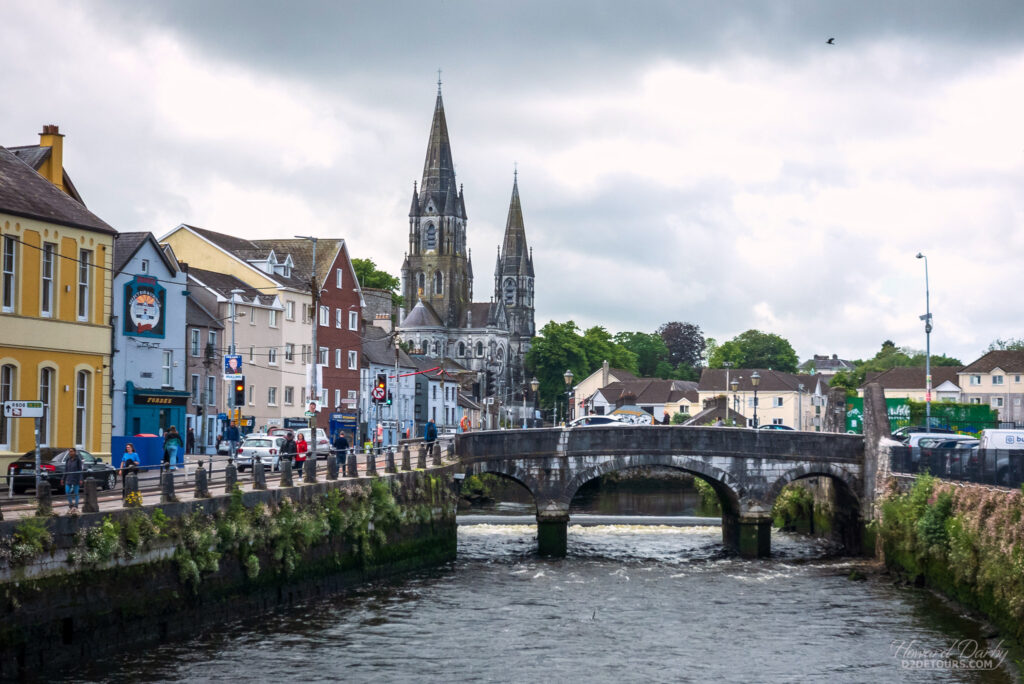
Cruise ships dock in Cobh, about a 30-minute train ride from Cork where most tourists are headed. Cobh is a seaport town on the south coast of Ireland, and was the Titanic’s last port of call. As a Royal Navy port it was known as the Cove of Cork, but was renamed Queenstown in 1849 during a visit from Queen Victoria. During the Irish War of Independence it was renamed Cobh, the Gaelic version of Cove. Rather than joining the hordes of cruise ship passengers who leave the ship and immediately hop on the train to Cork, we spent a couple of hours walking Cobh’s streets and I’m so glad we did. The Cathedral Church of St Colman is magnificent, the Titanic Memorial Park is moving, and the Deck of Cards houses were ever so pretty.
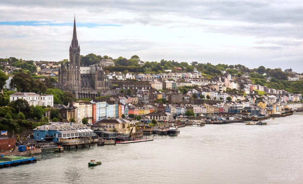
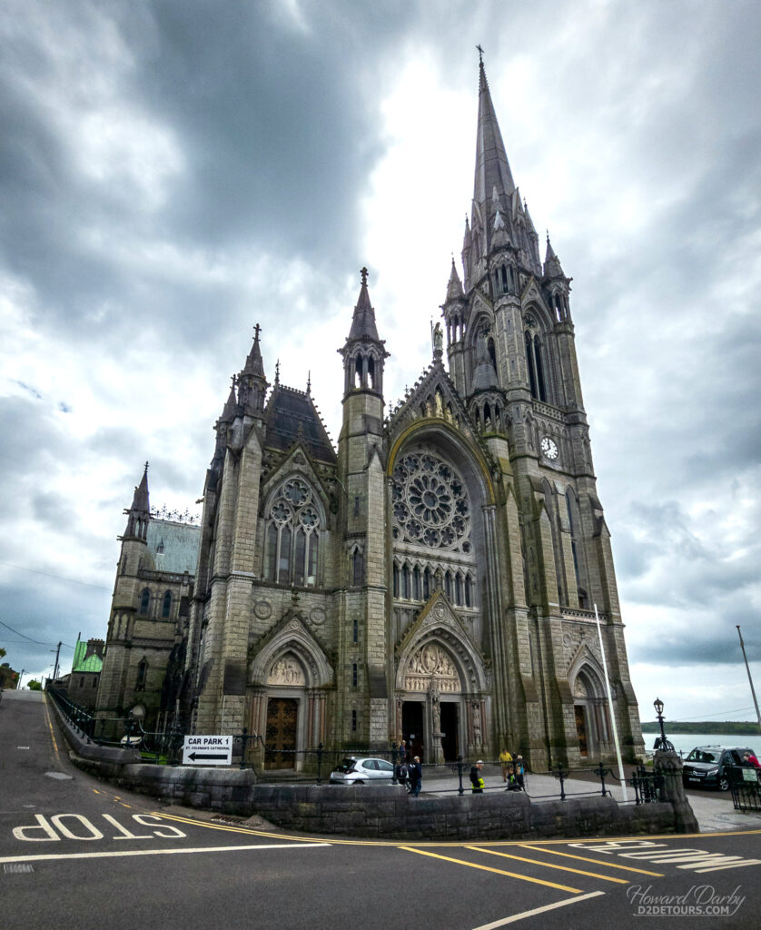
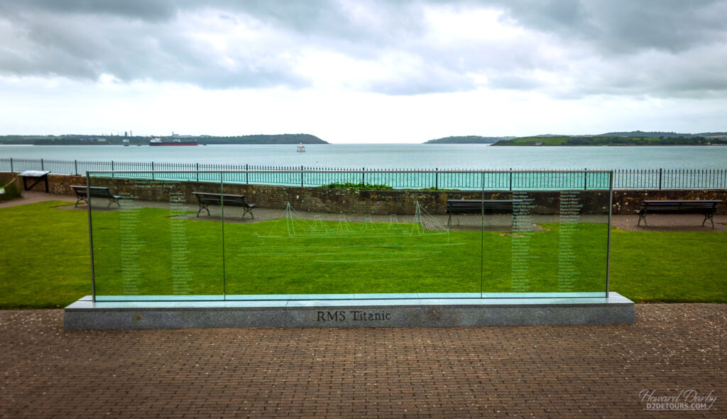
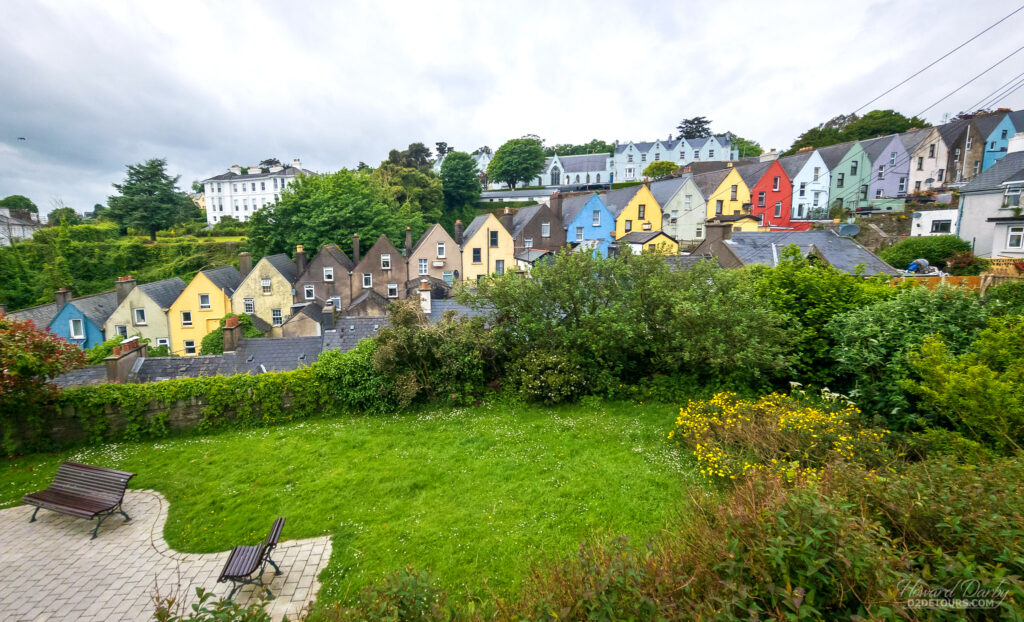
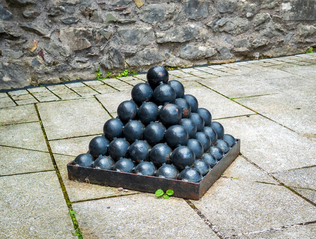
Cobh was charming, Cork was kind of “meh,” although in Fort Elizabeth I did learn the origins of the saying “cold enough to freeze the balls off a brass monkey.” In the 18th century, cannon balls were stored on a “monkey,” a brass tray onto which the balls were piled one atop another to create a pyramid, which was an efficient and accessible method of storage. Iron wasn’t suitable for the trays because the cannon balls rust and will fuse to the iron tray, brass didn’t present the same problem. In extremely cold weather, however, brass contracts faster than iron. As the brass monkey contracts, the balls on the lowest level of the pyramid start to pop off the tray causing the whole structure to collapse, scattering cannonballs everywhere.
Weather was again a factor as we headed to our final port in Ireland, Waterford. This time it was a good thing. Waterford is a coastal city, the nearest port is Dunmore East, which is not big enough to allow cruise ships to dock, so ships must anchor in the harbour and tender their passengers to shore. High winds were forecast, which made tendering dangerous, so a different port was substituted – Bruges, Belgium. Since Bruges has been on our bucket list for a while we were thrilled!
BRUGES, BELGIUM
Similar to Cork (Cobh) we docked elsewhere (Zeebrugge) and then took mass transit into Bruges, a picture-postcard city. Bridges, canals, cobblestones, and remarkable architecture – it’s a photographer’s dream.
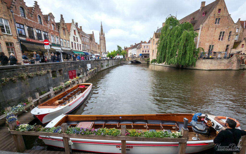
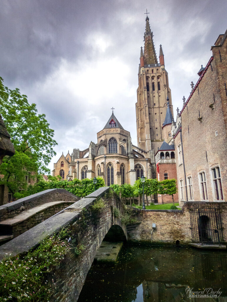
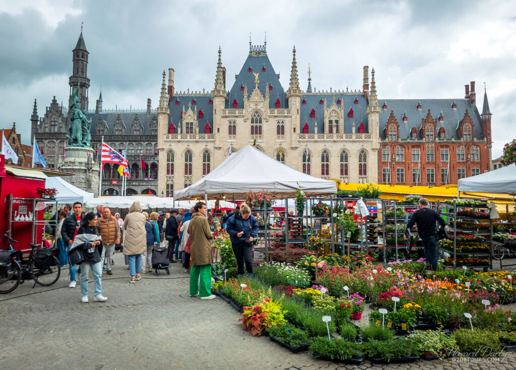
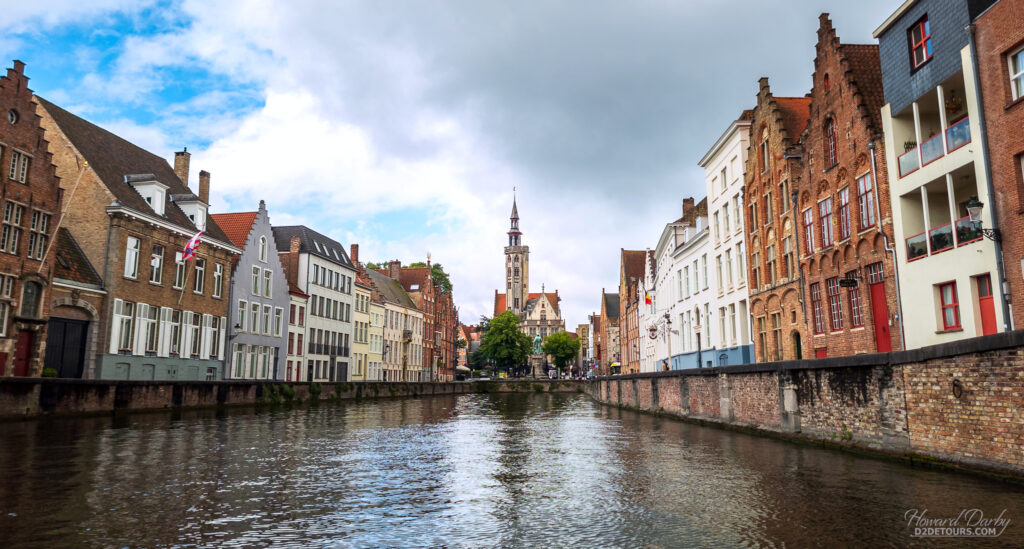
Despite occupation by the Germans during both world wars (Canadian troops liberated the city in WWII), it escaped largely unscathed which only adds to its allure. Architecture is not the only appeal of the city – Belgian chocolate, which has a higher cocoa content than products made elsewhere in the world, is delectable – just be sure you’re buying the real stuff from shops displaying a “handmade” sign in their window.
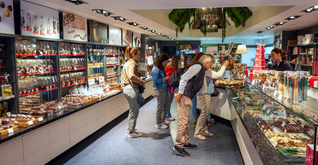
This yummy chocolate also makes an appearance on another iconic Belgian food – waffles. Interestingly, food experts believe the origin of the waffle can be traced back to the Greeks, though that version wasn’t as sweet as the modern take. The Belgian waffle made its first appearance at the Brussels World Fair in 1958.
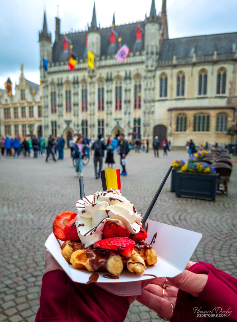
And that’s a wrap, we’re back on solid land until December when we’ll hop aboard another ship for a Transatlantic crossing from Barcelona to Miami. Until then, we’re heading east across the continent, beginning in Oostvorne, Netherlands!

Enjoying you blog…Great photos!
We were in Iceland in 2016 and prices were more digestible then…
A friend of your mothers Whitney…
Hi Whitney, great writeup. For the record, just got back from Portland and Seattle US, and they’d blow your Iceland prices away. Not only are prices up, our dollar down, but they want a minimum 20% tip (some places it’s an added service charge and then they want more “for the server”), and taxes are extra. The US$ price quoted must be doubled for Canadians to know what the final tally will be. Coffee was $4.50 US, and yes, they still want a tip. And that was at a hotel; not Starbucks. BTW, the top tip option for good service is now 40% there.
Went to the Giants Causeway 15 years ago. It took 2 full days after I landed in Belfast to get there and back. And yes, in those days the buses took the coast road! But then the locals were still bragging about how the metal detectors had come down in Belfast centre.
We stayed in the ex-Portuguese embassy in Bruges. Managed to hit the one day of the year that all the national museums are free. Highly recommended you return – the brewery tour was fantastic (thanks to Rick Steves for the tip).
Cheers
Pingback: Howard's Favourite Photos From 2024 - D2 Detours